Search

Search Results

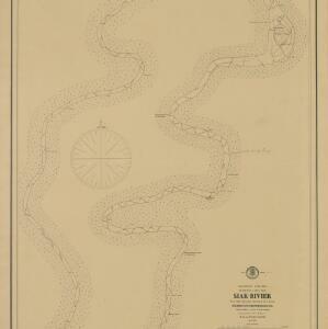
Oostkust Sumatra. Schetskaart der Siak Rivier van het Eiland Tengah tot Siak

event1894

location_onIndonesia

This late 19th century large-scale (1:30,000) map show just a section of the Siak River, in the Riau province of Sumatra. Bathymetry (water depth) is shown in figures to aid navigation, with various landmarks noted along the river’s banks.

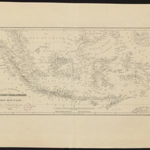
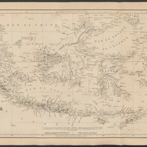
Carte générale des possessions néerlandaises aux Indes orientales

event1846

location_onBrunei, East Timor, Indonesia, Malaysia, Philippines, Singapore

Map of the Asian colonial possessions of the Netherlands (Dutch East Indies), with an inset of the heights of some of the region’s mountains. A note describes the average temperature, barometer reading and magnetic declination in Batavia at the time.

close

  • Filter from 1846 to 1894

Current results range from 1846 to 1894