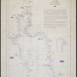
Kaart van de Djelej- en Kotawaringin-rivieren
1881
Indonesia
Map of an expedition exploring two rivers and their tributaries in southern Borneo. Villages and farms are marked (in red for Malay people; in black for Dayak people). Red numbers show height above sea-level in meters; black numbers show latitude.


