Search

Search Results

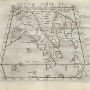
Tabvla Asiae XI

event1574

location_onCambodia, Indonesia, Malaysia, Laos, Myanmar, Singapore, Thailand, Vietnam, Southeast Asia

Mid-16th century map by Girolamo Ruscelli, based on the work of 2nd century geographer Ptolemy. It is difficult to pinpoint exact locations, but the Malay Peninsula is recognisable. Italian text on the reverse describes the region.

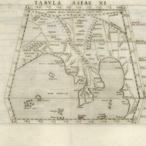
Tabvla Asiae XI

event1561

location_onCambodia, Indonesia, Malaysia, Laos, Myanmar, Singapore, Thailand, Vietnam, Southeast Asia

Mid-16th century map by Girolamo Ruscelli, based on the work of 2nd century geographer Ptolemy. It is difficult to pinpoint exact locations, but the Malay Peninsula is recognisable. Italian text on the reverse describes the region.
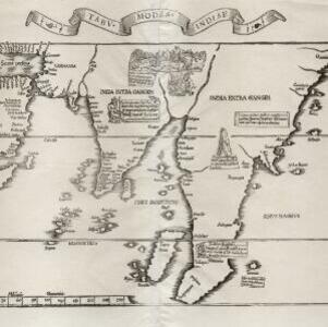
Tabv moder Indiae

event1535

location_onCambodia, Indonesia, Malaysia, Myanmar, Thailand, Vietnam

Early map of Asia, with the islands of Taprobana (Sumatra) to the west of the Malay Peninsula, and Timonia (Tioman) to the east. Text gives details of local economies: sandalwood on Tioman, and silver and silk at Lamai near Mallaqua (Malacca).

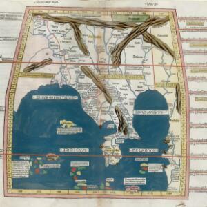
Vndecima Asiae Tabvla

event1486

location_onCambodia, Laos, Malaysia, Myanmar, Singapore, Thailand, Vietnam

Based on the work of 2nd century geographer Ptolemy, this colourful map has Latin inscriptions including ‘Aurea Regio [Kingdom of Gold]’ and ‘Regio Argenteo [Kingdom of Silver]’. The Malay Peninsula is labelled ‘Curra Cherlon [Golden Chersonese]’.

close

  • Filter from 1486 to 1574

Current results range from 1486 to 1574