
Search


Refine your results
- check_box[remove]Leiden University Libraries6
- Filter from 1858 to 1877
Current results range from 1858 to 1877
Location
- check_box_outline_blankDutch East Indies6
- check_box_outline_blankJava6
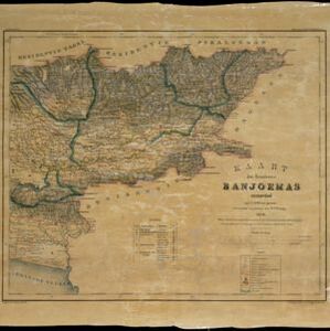
- check_box_outline_blankBanjoemas1
- check_box_outline_blankBanyumas1
- check_box_outline_blankCentral Java1
- check_box_outline_blankCheribon1
- check_box_outline_blankCirebon1
- check_box_outline_blankLorok1
- check_box_outline_blankMadioen1
- check_box_outline_blankMadiun1
- check_box_outline_blankMagettan1
- check_box_outline_blankNgawie1
- more Detailed Location »
Land Use
- check_box_outline_blankKampong/Village4
- check_box_outline_blankPost Office3
- check_box_outline_blankTemple3
- check_box_outline_blankChurch2
- check_box_outline_blankJail/Prison2
- check_box_outline_blankMilitary Fort2
- check_box_outline_blankResidential Area2
- check_box_outline_blankCemetery/Columbarium1
- check_box_outline_blankMilitary Barracks1
- check_box_outline_blankMosque1
- check_box_outline_blankPalace1
- check_box_outline_blankPublic Space1


