
Search Results
Filter
Map Maker
Versteeg, W.F.
Remove constraint Map Maker: Versteeg, W.F.
Land Routes
Postal Route
Remove constraint Land Routes: Postal Route
Land Routes
Road
Remove constraint Land Routes: Road
Detailed Location
Dutch East Indies
Remove constraint Detailed Location: Dutch East Indies
Collections
Leiden University Libraries
Remove constraint Collections: Leiden University Libraries
4 Results found

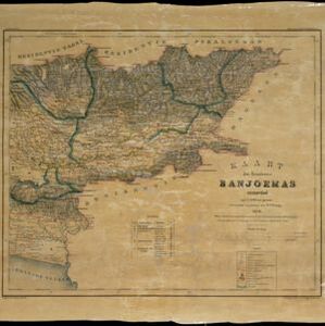


Kaart van de westerhelft der residentie Rembang
1858
Indonesia
Topographic map of the residency of Rembang, Central Java, divided into regencies and districts. Roads and villages are marked, with shoals, reefs and water depth at sea. An inset map of the city of Rembang features markets, warehouses, churches.
- [remove]Dutch East Indies4
- Java4
- Central Java2
- Banjoemas1
- Banyumas1
- Batang1
- Madioen1
- Madiun1
- Magettan1
- Ngawie1
- Pekalongan1
- Poerwodadi1
- more Detailed Location »
- [remove]Versteeg, W.F.4
- Cronenberg, F.2
- Bogaerts, A.J.1
- Böhm1
- Wolff1


