Search

Search Results

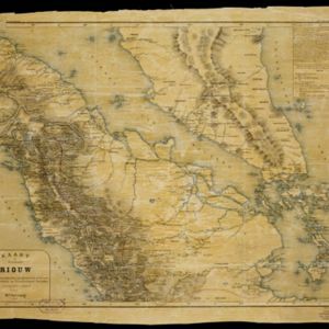
Kaart der residentie Riouw met onderhoorigheden, aangrenzend deel van Sumatra's Westkust en schiereiland Malakka

event1871

location_onIndonesia, Malaysia, Singapore

Map of the Riouw (Riau) Residency, Sumatra. The border between Riau and the island’s west coast is marked in red ‘as far as it is known [voor zoo verre die... bekend is]’, ending abruptly in the unexplored mountains near Lake Toba, northern Sumatra.

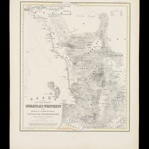
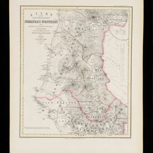
Kaart van de Gouvernement Sumatra's Westkust No. 1

event1857

location_onIndonesia

Map of part of the Dutch colonial administrative region of Sumatra’s Westkust (Sumatra’s West Coast). A route into the port of Sibogha (Sibolga) is marked. (From ‘Algemeene Atlas van Nederlandsche Indie [General Atlas of the Dutch East Indies]’.)

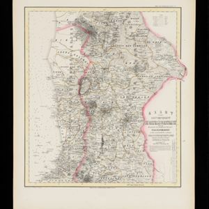
Kaart van de Gouvernement Sumatra's Westkust No. 2

event1857

location_onIndonesia

Map of part of the Dutch colonial administrative region of Sumatra’s Westkust (Sumatra’s West Coast). The sea is marked with bathymetry (sea depth). (From ‘Algemeene Atlas van Nederlandsche Indie [General Atlas of the Dutch East Indies]’.)

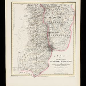
Kaart van de Gouvernement Sumatra's Westkust No. 3

event1857

location_onIndonesia

Map of part of the Dutch colonial administrative region of Sumatra’s Westkust (Sumatra’s West Coast). The sea is marked with bathymetry (sea depth). (From ‘Algemeene Atlas van Nederlandsche Indie [General Atlas of the Dutch East Indies]’.)

Kaart van de Gouvernement Sumatra's Westkust No. 4

event1857

location_onIndonesia

Map of part of the Dutch colonial administrative region of Sumatra’s Westkust (Sumatra’s West Coast). The sea is marked with bathymetry (sea depth). (From ‘Algemeene Atlas van Nederlandsche Indie [General Atlas of the Dutch East Indies]’.)

close

  • Filter from 1857 to 1871

Current results range from 1857 to 1871