Search

Search Results

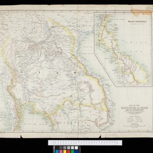
Map of the Kingdom of Siam and its dependencies

event1888

location_onCambodia, Laos, Malaysia, Myanmar, Thailand, Vietnam

Map of the Kingdom of Siam, featuring mountains, rivers and villages, and surrounded by a yellow border (the border with Upper Burma and China in the north is undefined). The southern part of Siam is shown on an inset map of the Malay Peninsula.

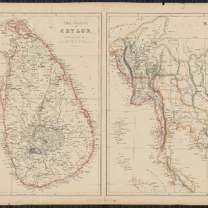
The Island of Ceylon / Burmah, Siam and Anam

event1870

location_onMyanmar, Laos, Cambodia, Thailand, Vietnam, Malaysia

This map of mainland Southeast Asia has colour-coded borders: Burmah (Myanmar) in red, Siam (Thailand) in brown, and Anam (Vietnam) in green. The British territory of Penang is also bordered in red. Independent areas are bordered in grey.

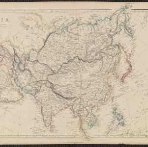
Asia

event1860

location_onPapua New Guinea, Brunei, Cambodia, Indonesia, Laos, Malaysia, Myanmar, Philippines, Singapore, Southeast Asia, Thailand, Vietnam

This mid-19th century map of Asia has colour-coded borders that show the beginnings of the emergence of the modern nation states of Southeast Asia, such as Laos, Burmah (Burma), Siam (Thailand) and Malaya (Malaysia).

close