
Search Results
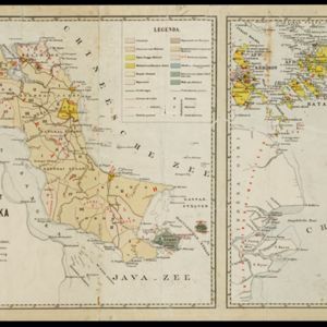
Schets-taalkaart van de residentie Bangka / Schets-taalkaart van den Riouw- en Lingga-archipel
1889
Indonesia
Two separate maps showing the languages and dialects spoken on the islands of Bangka, and the Riouw (Riau) and Lingga archipelagos, in the late 19th century. On Bangka alone, there are 12 languages or dialects listed.

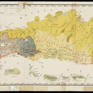
Atlas van Nederlandsch Oost-Indië
c.1897-1904
Indonesia
Very detailed atlas of the entire Dutch East Indies, over 16 map sheets, with a cover and overview map. Includes topographic maps, inset maps of cities and islands, and maps featuring land and sea routes, languages, geology, colonial territory etc.


