Search

Search Results

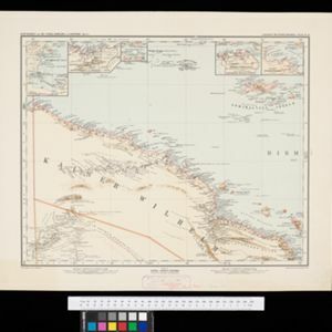
Schutzgebiet der Neu-Guinea-Kompanie

eventc.1892-1893

location_onIndonesia, Papua New Guinea

Very detailed six-sheet map of eastern New Guinea, with numerous inset maps of bays and islands, and other inset maps covering ethnography, explorers of the region, marine routes across the Pacific Ocean, cannibalism, missionaries activity etc.

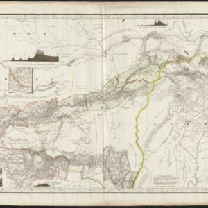
Karte von Assam: und seinen Nachbar-Ländern

event1834

location_on-

Map of Assam, including India’s border with northwest Birma (Myanmar) where indigenous lands/peoples are marked (Singphos, Naga, Kasi-Schan, Thai-Lung) e.g. ‘These mountainous landscapes are inhabited by the Naga tribes [translation from map text]’.

close

  • Filter from 1834 to 1892

Current results range from 1834 to 1892