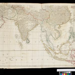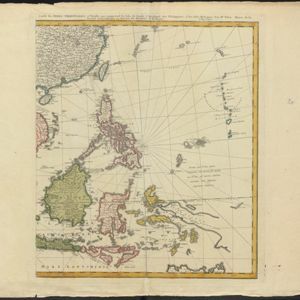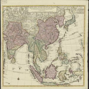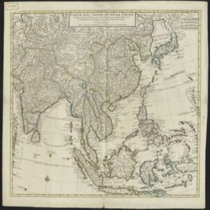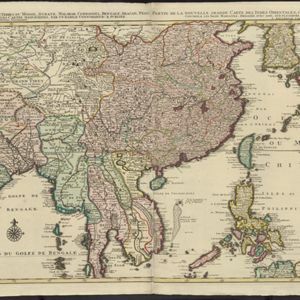
La nouvelle grande carte des Indes Orientales
1792
Cambodia, Laos, Myanmar, Philippines, Thailand, Vietnam
Map of mainland Southeast Asia divided into kingdoms. Larger settlements are marked pictorially with a red building symbol. The desert of Cochinchine (Vietnam) is labelled as being inhabited by the ‘Kemoys Peuples Barbares [Kemoys Barbarian People]’.