Search

Search Results

Kaart van het eiland Flores

event1890

location_onIndonesia

Hand-drawn map of Flores in the Lesser Sunda Islands, with extensive written notes describing the island, e.g. the interior is unknown to Europeans; the names of the main Christian villages are underlined.

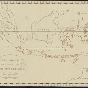
Kaart van de Nederlandsche bezittingen in Oost-Indië

event1840

location_onBrunei, East Timor, Indonesia, Malaysia, Philippines, Singapore

This map shows the Dutch colonial possessions in the East Indies in the mid-19th century. The text provides great detail about the people, religion, crops, animals, geography and administration of the Dutch East Indies.

Nederl. Oostindie met de standplaatsen der zendelingen

event1823

location_onBrunei, East Timor, Indonesia, Malaysia, Singapore

This simple map of the Dutch East Indies shows the locations of Christian missions in the region in the early 19th century.

Nederl. Oostindie met de standplaatsen der zendelingen

event1823

location_onBrunei, East Timor, Indonesia, Malaysia, Singapore

This simple map of the Dutch East Indies shows the locations of Christian missions in the region in the early 19th century.

close

  • Filter from 1823 to 1890

Current results range from 1823 to 1890