Search

Search Results

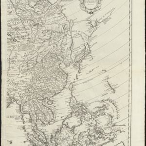
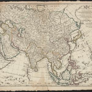
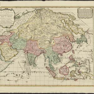
Carte d'Asie: dressée sur les memoires envoyéz par le Czar a l'Academie Royale des Science

event1745

location_onBrunei, Cambodia, East Timor, Indonesia, Laos, Malaysia, Myanmar, Philippines, Singapore, Southeast Asia, Thailand, Vietnam

An early 18th century map of Asia by the French cartographer Guillaume Delisle (1675–1726). Regions are indicated with coloured borders, and the southern part of Borneo is labelled ‘Côte de Mahometans [Coast of the Muslims]’.

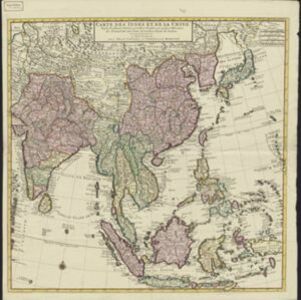
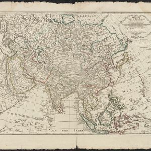
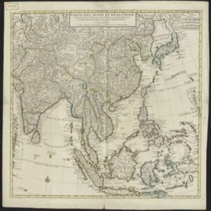
Carte des Indes et de la Chine

eventc.1742

location_onBrunei, Cambodia, East Timor, Indonesia, Laos, Malaysia, Myanmar, Philippines, Singapore, Southeast Asia, Thailand, Vietnam

The regional borders of early 18th century Southeast Asia are shown on this map. Mountains are shown pictorially, and larger settlements are marked with a red building symbol. Southern Borneo is labelled ‘Pays des Mahometans [Land of the Muslims]’.

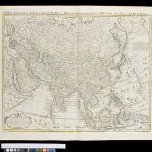
L'Asie divisée en ses principales parties oú les Empires, Roïaumes, Etats et Peuples sont distingues les uns des autres

eventc.1740

location_onBrunei, Cambodia, East Timor, Indonesia, Laos, Malaysia, Myanmar, Philippines, Singapore, Southeast Asia, Thailand, Vietnam

The southern coast of Borneo is labelled ‘Cote des Mahometans [Coast of the Muslims]’. A note next to the Philippines states that they were discovered by Ferdinand Magellan in 1520 and are comprised of about 11,000 islands.

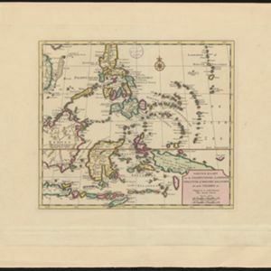
Nieuwe kaart van de Filippynsche, Ladrones, Moluccos of Specery Eilanden, als mede Celebes etc.

event1740

location_onBrunei, East Timor, Indonesia, Malaysia, Philippines, Vietnam

A label on the island of Borneo states ‘Beajous Afgodendienaars bewonende het middelste gedeelte van 't Eiland [Beajous idolaters inhabit the middle part of the Island]’. Mountains are marked pictorially; settlements with a red building symbol.

Carte d'Asie: dressée sur les memoires envoyéz par le Czar a l'Academie Royale des Science

event1723

location_onBrunei, Cambodia, East Timor, Indonesia, Laos, Malaysia, Myanmar, Singapore, Philippines, Southeast Asia, Thailand, Vietnam

An early 18th century map of Asia by the French cartographer Guillaume Delisle (1675–1726). Regions are indicated with coloured borders, and the southern part of Borneo is labelled ‘Côte de Mahometans [Coast of the Muslims]’.
Carte d'Asie: dressée sur les memoires envoyéz par le Czar a l'Academie Royale des Science

eventc.1722-1774

location_onBrunei, Cambodia, East Timor, Indonesia, Laos, Malaysia, Myanmar, Philippines, Singapore, Southeast Asia, Thailand, Vietnam

An early 18th century map of Asia by the French cartographer Guillaume Delisle (1675–1726). Regions are indicated with coloured borders, and the southern part of Borneo is labelled ‘Côte de Mahometans [Coast of the Muslims]’.
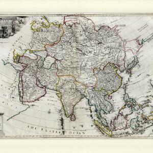
Asia corrected from the observation communicated to the Royal Society at London and the Royal Academy at Paris

eventc.1714

location_onBrunei, Cambodia, East Timor, Indonesia, Laos, Malaysia, Myanmar, Philippines, Singapore, Southeast Asia, Thailand, Vietnam

This early 18th century map of Asia features a drawing of a woman burning offerings on an altar, while two children carry cornucopias, and a camel looks on. The Roman god Mercury descends from the sky in the background wearing his winged helmet.

Asia corrected from the observation communicated to the Royal Society at London and the Royal Academy at Paris

event1713

location_onBrunei, Cambodia, East Timor, Indonesia, Laos, Malaysia, Myanmar, Philippines, Singapore, Southeast Asia, Thailand, Vietnam

This early 18th century map of Asia features a drawing of a woman burning offerings on an altar, while two children carry cornucopias, and a camel looks on. The Roman god Mercury descends from the sky in the background wearing his winged helmet.

close