Search
Refine your results
- check_box[remove]Leiden University Libraries2
- Filter from 1825 to 1884
Current results range from 1825 to 1884
Location
- check_box_outline_blankDutch East Indies2
- check_box_outline_blankAceh1
- check_box_outline_blankBanda Aceh1
- check_box_outline_blankBreueh Island1
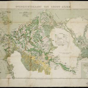
- check_box_outline_blankGroot-Atjeh1
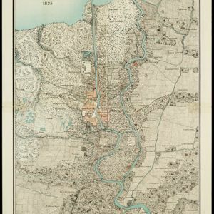
- check_box_outline_blankJava1
- check_box_outline_blankKali Maas1
- check_box_outline_blankKali Pagirian1
- check_box_outline_blankKota Radja1
- check_box_outline_blankMas River1
- check_box_outline_blankPegirian River1
- check_box_outline_blankPoeloe Bras1
- more Detailed Location »
Land Use
- check_box_outline_blankCemetery/Columbarium2
- check_box_outline_blankHospital2
- check_box_outline_blankKampong/Village2
- check_box[remove]Mosque2
- check_box_outline_blankMilitary Barracks1
- check_box_outline_blankMilitary Fort1
- check_box_outline_blankPost Office1
- check_box_outline_blankPublic Space1
- check_box_outline_blankResidential Area1


