Search

Search Results

Atlas van Nederlandsch Oost-Indië

eventc.1897-1904

location_onIndonesia

Very detailed atlas of the entire Dutch East Indies, over 16 map sheets, with a cover and overview map. Includes topographic maps, inset maps of cities and islands, and maps featuring land and sea routes, languages, geology, colonial territory etc.

Rough Sketch of 200 miles of the western portion of British New Guinea, including rivers

event1890

location_onPapua New Guinea

Map of British New Guinea with notes on the terrain (‘Low country’), vegetation (‘Mangrove, Nipa and Fan Palms’), crops (‘Small plantations Sugar cane & Taro’), coastal features (‘Coral and Sand flats) and people (‘Friendly tribe’, ‘Dariamo Tribe’).

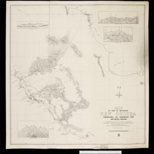
Map of part of south-east New Guinea embracing its northern and southern waters

event1889

location_onPapua New Guinea

This map focuses on the southern coast including the capital Port Moresby, with the northern regions left mostly blank. There are four inset drawings of side views of mountains (elevations), and the border with German New Guinea is marked.

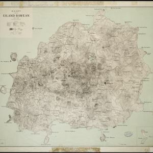
Kaart van het eiland Bawean

event1886

location_onIndonesia

Topographic map of the island of Bawean in the Java Sea, with terrain shown by contour lines, and mountains labelled with their heights. Villages, forests (heavy, light, teakwood) and crops (coconut, coffee, alang-alang, rice, bamboo) are marked.

Algemeene Kaart van Nederlandsch Oostindie

event1842

location_onEast Timor, Indonesia, Malaysia, Singapore

This detailed map of the Dutch East Indies in the mid-19th century is spread over eight sheets, plus a cover sheet showing the whole area. There are numerous inset maps of islands, bays, cities etc.

Algemeene kaart van Nederlandsch Oostindie

eventc.1839-1855

location_onEast Timor, Indonesia, Malaysia, Singapore

This map of the Dutch East Indies is spread over eight sheets, with a hand-drawn cover sheet showing the whole area. There are numerous inset maps of islands, bays, cities etc. Two of the inset maps have a replacement map pasted over them.

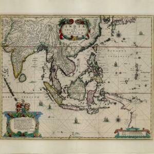
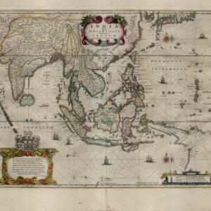
India quae Orientalis dicitur, et insvlae adiacentes

event1664

location_onBrunei, Cambodia, East Timor, Indonesia, Laos, Malaysia, Myanmar, Philippines, Singapore, Southeast Asia, Thailand, Vietnam

French text on the reverse of this map describes the religion, languages, crops, trade etc. of Aracam and Pegu (Myanmar), Siam (Thailand), Cambaja (Cambodia). The map is dedicated to the Dutch merchant Christophoro Thisio.

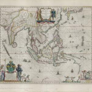
India quae Orientalis dicitur, et insvlae adiacentes

event1664

location_onBrunei, Cambodia, East Timor, Indonesia, Laos, Malaysia, Myanmar, Philippines, Singapore, Southeast Asia, Vietnam, Thailand

A map of Asia decorated with colourful illustrations including two men in ‘eastern’ clothing, the Greek goddess Athena with a coat of arms and a knight in armour, and cherubs playing with cartography tools: a globe, compass, and pair of callipers.

India quae Orientalis dicitur, et insvlae adiacentes

eventc.1645-1658

location_onBrunei, Cambodia, East Timor, Indonesia, Laos, Malaysia, Myanmar, Philippines, Singapore, Southeast Asia, Thailand, Vietnam

German text on the reverse of this map describes the populations, crops, trade etc. of Sumatra, Borneo, Philippines, and Banda Islands. There are drawings of sailing ships, and the map is dedicated to the Dutch merchant Christophoro Thisio.

close