Search

Search Results

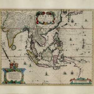
India quae Orientalis dicitur, et insvlae adiacentes

eventc.1645-1658

location_onBrunei, Cambodia, East Timor, Indonesia, Laos, Malaysia, Myanmar, Philippines, Singapore, Southeast Asia, Thailand, Vietnam

German text on the reverse of this map describes the populations, crops, trade etc. of Sumatra, Borneo, Philippines, and Banda Islands. There are drawings of sailing ships, and the map is dedicated to the Dutch merchant Christophoro Thisio.

India quae Orientalis dicitur, et insvlae adiacentes

event1664

location_onBrunei, Cambodia, East Timor, Indonesia, Laos, Malaysia, Myanmar, Philippines, Singapore, Southeast Asia, Thailand, Vietnam

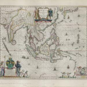
French text on the reverse of this map describes the religion, languages, crops, trade etc. of Aracam and Pegu (Myanmar), Siam (Thailand), Cambaja (Cambodia). The map is dedicated to the Dutch merchant Christophoro Thisio.
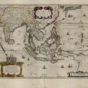
India quae Orientalis dicitur, et insvlae adiacentes

event1664

location_onBrunei, Cambodia, East Timor, Indonesia, Laos, Malaysia, Myanmar, Philippines, Singapore, Southeast Asia, Vietnam, Thailand

A map of Asia decorated with colourful illustrations including two men in ‘eastern’ clothing, the Greek goddess Athena with a coat of arms and a knight in armour, and cherubs playing with cartography tools: a globe, compass, and pair of callipers.

Ware affbeeldinge wegens het casteel ende stadt Batavia gelegen opt groot eylant Java anno 1669

event1670

location_onIndonesia

A plan of the important port of Batavia (Jakarta), with the fort, river, city streets and fields. Decorative illustrations include ships in the harbour, a view of the city and mountains, and the city’s coat of arms: a lion holding a sword and shield.

A map of the East-Indies and the adjacent countries: with the settlements, factories and territories, explaining what belongs to England, Spain, France, Holland, Denmark, Portugal &c.

event1717

location_onBrunei, Cambodia, East Timor, Indonesia, Laos, Malaysia, Myanmar, Philippines, Singapore, Southeast Asia, Thailand, Vietnam

This map showcases the colonial territories of Southeast Asia in the 18th century, with text detailing trading information and the products of each region. There are five inset maps featuring plans of specific trading ports.

A map of the East-Indies and the adjacent countries: with the settlements, factories and territories, explaning what belongs to England, Spain, France, Holland, Denmark, Portugal &c.

event1720

location_onBrunei, Cambodia, East Timor, Indonesia, Laos, Malaysia, Myanmar, Philippines, Vietnam, Thailand, Southeast Asia, Singapore

This map showcases the colonial territories of Southeast Asia in the 18th century, with text detailing trading information and the products of each region. There are five inset maps featuring plans of specific trading ports.

A map of the East-Indies and the adjacent countries: with the settlements, factories and territories, explaning what belongs to England, Spain, France, Holland, Denmark, Portugal &c.

eventc.1720

location_onBrunei, Cambodia, East Timor, Indonesia, Laos, Malaysia, Myanmar, Philippines, Singapore, Southeast Asia, Thailand, Vietnam

This map showcases the colonial territories of Southeast Asia in the 18th century, with text detailing trading information and the products of each region. There are five inset maps featuring plans of specific trading ports.

Algemeene kaart van Nederlandsch Oostindie

eventc.1839-1855

location_onEast Timor, Indonesia, Malaysia, Singapore

This map of the Dutch East Indies is spread over eight sheets, with a hand-drawn cover sheet showing the whole area. There are numerous inset maps of islands, bays, cities etc. Two of the inset maps have a replacement map pasted over them.

Algemeene Kaart van Nederlandsch Oostindie

event1842

location_onEast Timor, Indonesia, Malaysia, Singapore

This detailed map of the Dutch East Indies in the mid-19th century is spread over eight sheets, plus a cover sheet showing the whole area. There are numerous inset maps of islands, bays, cities etc.

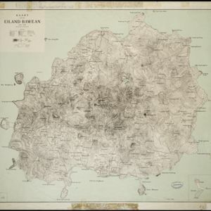
Kaart van het eiland Bawean

event1886

location_onIndonesia

Topographic map of the island of Bawean in the Java Sea, with terrain shown by contour lines, and mountains labelled with their heights. Villages, forests (heavy, light, teakwood) and crops (coconut, coffee, alang-alang, rice, bamboo) are marked.

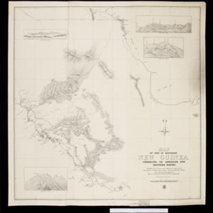
Map of part of south-east New Guinea embracing its northern and southern waters

event1889

location_onPapua New Guinea

This map focuses on the southern coast including the capital Port Moresby, with the northern regions left mostly blank. There are four inset drawings of side views of mountains (elevations), and the border with German New Guinea is marked.

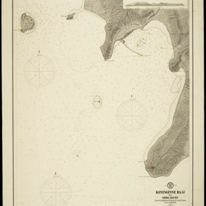
Koninginne baai met Emma haven

event1894

location_onIndonesia

Map of Koninginne Baai (Bayur Bay, west coast of Sumatra) used to navigate Emma Haven (now Port of Teluk Bayur). It features bathymetry (sea depth), reefs and shoals, as well as lighthouses, buoys and two elevations (side views) of coastal mountains.

close