Search

Search Results

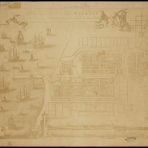
Afbeeldinge van 't casteel en de stadt Batavia gelegen op 't groot eylandt Iava-Maior int Coninckrijck van Iaccatra

event1898

location_onIndonesia

Atlas van Nederlandsch Oost-Indië

eventc.1897-1904

location_onIndonesia

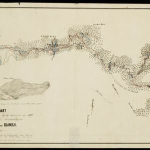
Schetskaart van het terrein doorloopen bij de excursie in 1890 tegen de Battaksche landschappen Loemban-Pinasa en Djandji

event1891

location_onIndonesia

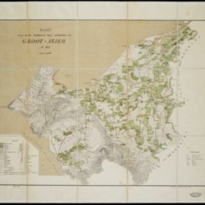
Kaart van het terrein des oorlogs in Groot-Atjeh in 1876

event1883

location_onIndonesia

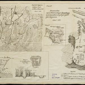
[Schetskaarten van versterkingen, loopgraven, stellingen, bentengs e.d. uit de Atjeh oorlog]

event1880

location_onIndonesia

Kaart van de onderneming Pengging Bangat

event1872

location_onIndonesia

Arracan: chart of the entrance to the river

event1858

location_onMyanmar

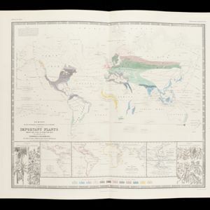
Survey of the geographical distribution and cultivation of the most important plants which are used as food for man: with indications of the isotheres & isochimenes, or lines of equal summer & winter temperature

event1849

location_onBrunei, Cambodia, East Timor, Indonesia, Laos, Malaysia, Myanmar, Papua New Guinea, Philippines, Singapore, Southeast Asia, Thailand, Vietnam
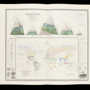
The geographical distribution of plants according to Humboldt's statistics of the principal families and groups: Schouw's twenty five phyto-geographic regions, and the distribution of the family of palms and the genera Pinus (pine) & Erica (heath)

event1849

location_onBrunei, Cambodia, East Timor, Indonesia, Laos, Malaysia, Myanmar, Papua New Guinea, Philippines, Singapore, Southeast Asia, Thailand, Vietnam

Algemeene Kaart van Nederlandsch Oostindie

event1842

location_onEast Timor, Indonesia, Malaysia, Singapore

Algemeene kaart van Nederlandsch Oostindie

eventc.1839-1855

location_onEast Timor, Indonesia, Malaysia, Singapore

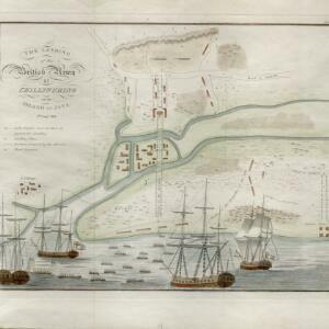
The landing of the British Army at Chillinching on the island of Java 4th Augt. 1811

event1815

location_onIndonesia

close