Search

Search Results

Topographische kaart der residentie Cheribon

event1877

location_onIndonesia

Topographische kaart der residentie Semarang

eventc.1869-1871

location_onIndonesia

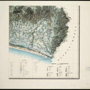
Topographische kaart der residentie Japara

event1870

location_onIndonesia

Plattegrond der stad Batavia

event1866

location_onIndonesia

Nederlandsch Oost-Indië

event1865

location_onBrunei, Cambodia, East Timor, Indonesia, Laos, Malaysia, Myanmar, Vietnam, Thailand, Southeast Asia, Singapore, Philippines, Papua New Guinea

Topographische kaart der residentie Bagelen

event1860

location_onIndonesia

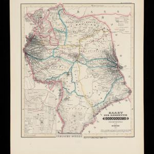
Kaart der Residentie Soerakarta

event1859

location_onIndonesia

Borneo

event1851

location_onMalaysia, Southeast Asia, Philippines, East Timor, Vietnam, Brunei, Indonesia

Borneo

event1851

location_onMalaysia, Southeast Asia, Philippines, East Timor, Vietnam, Indonesia, Brunei

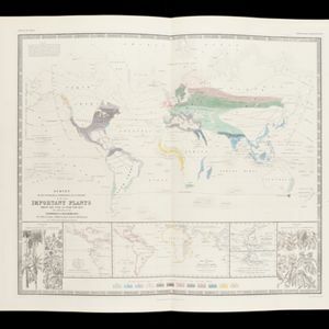
Survey of the geographical distribution and cultivation of the most important plants which are used as food for man: with indications of the isotheres & isochimenes, or lines of equal summer & winter temperature

event1849

location_onBrunei, Cambodia, East Timor, Indonesia, Laos, Malaysia, Myanmar, Papua New Guinea, Philippines, Singapore, Southeast Asia, Thailand, Vietnam

Algemeene Kaart van Nederlandsch Oostindie

event1842

location_onEast Timor, Indonesia, Malaysia, Singapore

Kaart van de Nederlandsche bezittingen in Oost-Indië

event1840

location_onBrunei, East Timor, Indonesia, Malaysia, Philippines, Singapore

close