Search

Search Results

Map of the Kingdom of Siam and its dependencies

eventc.1900

location_onMyanmar, Malaysia, Singapore, Thailand, Laos, Cambodia, Vietnam

A map of British North Borneo

event1899

location_onMalaysia, Brunei, Indonesia

A map of British North Borneo

event1894

location_onMalaysia, Brunei, Indonesia

Plan of Singapore town

event1893

location_onSingapore

Map to illustrate the Siamese question: showing the present limits of French claims, and the additional territory now demanded

event1893

location_onCambodia, Laos, Malaysia, Myanmar, Thailand, Vietnam

British Burma, Pegu division: With additions to railways up to 1891

event1891

location_onMyanmar

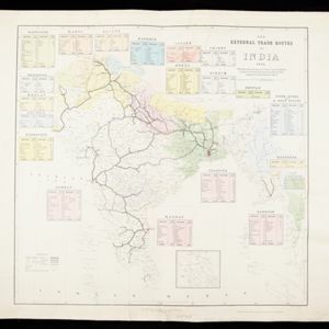
The external trade routes of India: with tables showing the amount and value of the principal exports and imports of the chief Indian sea ports and frontier states

event1886

location_onMyanmar, Thailand

Borneo

event1851

location_onMalaysia, Southeast Asia, Philippines, East Timor, Vietnam, Brunei, Indonesia

Borneo

event1851

location_onMalaysia, Southeast Asia, Philippines, East Timor, Vietnam, Indonesia, Brunei

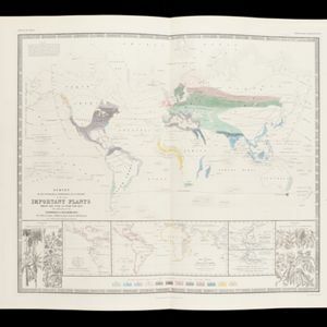
Survey of the geographical distribution and cultivation of the most important plants which are used as food for man: with indications of the isotheres & isochimenes, or lines of equal summer & winter temperature

event1849

location_onBrunei, Cambodia, East Timor, Indonesia, Laos, Malaysia, Myanmar, Papua New Guinea, Philippines, Singapore, Southeast Asia, Thailand, Vietnam

Plan of the road and city of Batavia on the north coast of Java Island

event1790

location_onIndonesia

Plan of the road and city of Batavia on the north coast of Java Island

event1790

location_onIndonesia

close