Search Results

A map of British North Borneo
1894
Malaysia, Brunei, Indonesia
The colonial territories of British North Borneo are shown in pink on this late 19th century map, with Brunei and Sarawak in green, and Dutch colonial territory in yellow. Sea routes around the British Empire are depicted on an inset map.

Map to illustrate the Siamese question: showing the present limits of French claims, and the additional territory now demanded
1893
Cambodia, Laos, Malaysia, Myanmar, Thailand, Vietnam
Map highlighting areas of eastern Siam (Thailand) claimed by France. Notes describe Siam’s geography, government, population, military and trade (rice, teak, pepper, bullocks, fish, hides, tin, cardamom, tin), including trading partners by tonnage.

British Burma, Pegu division: With additions to railways up to 1891
1891
Myanmar
Topographical map of the Pegu Division of British Burma (Myanmar), spread over four sheets. In addition to mountains, forests, rivers and wetlands, rice fields, routes (road, railway, path, telegraph), villages and pagodas are marked.

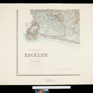
Topographische Kaart der residentie Bagelen
1890
Indonesia
The residency of Bagelen, Central Java, is shown divided into regencies and districts. Coffee, tea and cinnamon plantations, fields of rice, alang-alang and other crops, mountains, rivers, hot and mineral springs, settlements and routes are marked.

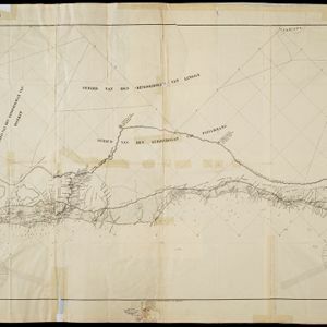
Schetskaart der afdeeling Westkust van Atjeh
1888
Indonesia
From a Dutch geographical society journal, this map of the west coast of Atjeh (Aceh), Sumatra, shows shoals, reefs, bathymetry (sea depth) and anchor points. On land, there are mountains (with heights), rivers, pepper plantations and rice fields.

Topographische kaart der residentie Besoeki
1888
Indonesia
The residency of Besoeki (Besuki), East Java, featuring crops (rice, alang-alang, bamboo, coconut); fishing ponds; factories, warehouses, businesses; routes, administrative borders; churches, cemeteries, forts, lighthouses; mountains, rivers, lakes.


