Search

Search Results

Atlas van Nederlandsch Oost-Indië

eventc.1897-1904

location_onIndonesia

Very detailed atlas of the entire Dutch East Indies, over 16 map sheets, with a cover and overview map. Includes topographic maps, inset maps of cities and islands, and maps featuring land and sea routes, languages, geology, colonial territory etc.

Rough Sketch of 200 miles of the western portion of British New Guinea, including rivers

event1890

location_onPapua New Guinea

Map of British New Guinea with notes on the terrain (‘Low country’), vegetation (‘Mangrove, Nipa and Fan Palms’), crops (‘Small plantations Sugar cane & Taro’), coastal features (‘Coral and Sand flats) and people (‘Friendly tribe’, ‘Dariamo Tribe’).

Schetskaart der afdeeling Westkust van Atjeh

event1888

location_onIndonesia

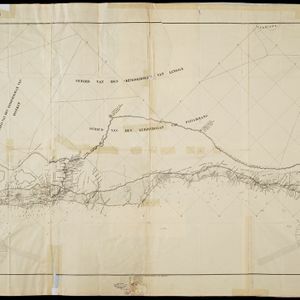
From a Dutch geographical society journal, this map of the west coast of Atjeh (Aceh), Sumatra, shows shoals, reefs, bathymetry (sea depth) and anchor points. On land, there are mountains (with heights), rivers, pepper plantations and rice fields.

Schetskaart van de Reede van Analaboe en aangrenzende landstreek

event1877

location_onIndonesia

Hand-drawn map of the roadstead—a body of water sheltered from tides/currents, for ships to anchor—at Analaboe (Meulaboh) on the west coast of northern Sumatra. Bathymetry (sea depth), shoals and reefs, and an anchor point are marked.

Algemeene Atlas van Nederlandsche Indie

eventc.1853-1862

location_onIndonesia

Atlas featuring over 60 detailed maps of the Dutch East Indies: 24 maps cover Java; the remainder cover the rest of the Dutch East Indies. There are three index maps. (All the maps in this atlas are also presented separately on this platform.)

Algemeene Kaart van Nederlandsch Oostindie

event1842

location_onEast Timor, Indonesia, Malaysia, Singapore

This detailed map of the Dutch East Indies in the mid-19th century is spread over eight sheets, plus a cover sheet showing the whole area. There are numerous inset maps of islands, bays, cities etc.

Algemeene kaart van Nederlandsch Oostindie

eventc.1839-1855

location_onEast Timor, Indonesia, Malaysia, Singapore

This map of the Dutch East Indies is spread over eight sheets, with a hand-drawn cover sheet showing the whole area. There are numerous inset maps of islands, bays, cities etc. Two of the inset maps have a replacement map pasted over them.

Nieuwe en zeer naaukeurige kaart van t eyland Java Major of Groot Java: verdeeld in seven byzondere bestekken

event1728

location_onIndonesia

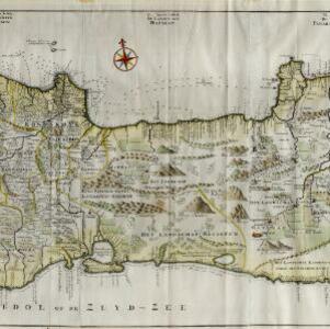
On this beautifully illustrated and coloured map of Java, mountains, trees, fields of crops and settlements are shown pictorially. The coasts are marked with shoals, reefs, bathymetry (sea depth, in figures) and anchor points.

Insulae Iavae pars Occidentalis

event1728

location_onIndonesia

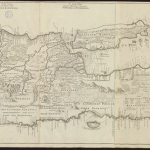
A map of Java with mountains, jungles, animals and crops. Bathymetry (sea depth) is marked, including on an inset map of Batavia harbour. Illustrations include Batavia Castle, and a lion—representing Belgium—receiving tribute and enslaving locals.

Nieuwe en zeer naaukeurige kaart van t eyland Java Major of Groot Java: verdeeld in seven byzondere bestekken

eventc.1726

location_onIndonesia

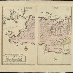
On this beautifully illustrated and detailed map of Java, mountains, trees, fields of crops and settlements are shown pictorially. The coasts are marked with shoals, reefs, bathymetry (sea depth, in figures) and anchor points.

Kaart van het Eyland Bali

event1726

location_onIndonesia

On this map of Bali (and parts of Java and Lombok), mountains, trees, fields and settlements are shown pictorially. The coasts are marked with shoals (dots), reefs (crosses), bathymetry (sea depth, in figures) and anchor points (anchor symbols).

close