Search

Search Results

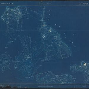
Island of Luzon

event1900

location_onPhilippines

This map of part of the Philippine island of Luzon was compiled during the Philippine–American War (1899–1902), and is marked with routes (paths, wagon roads), land types (grass, woods, swamp) and crops (rice, coconuts, nipa palm, cane sugar, corn).

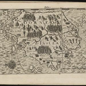
Borneo Insula

event1602

location_onMalaysia, Indonesia

An early map of the island of Borneo, depicting the natural landscape of mountains, forests, rivers and shoals, and also evidence of human habitation with houses representing settlements, and a port and shipping route along the northern coast.

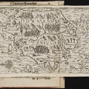
Borneo Insula

eventc.1600-1699

location_onMalaysia, Indonesia

An early map of the island of Borneo, depicting the natural landscape of mountains, forests, rivers and shoals, and also evidence of human habitation with houses representing settlements, and a port and shipping route along the northern coast.

close

  • Filter from 1600 to 1900

Current results range from 1600 to 1900