Search

Search Results

Kaart der residentie Zuider- en Ooster-afdeeling van Borneo

event1899

location_onIndonesia

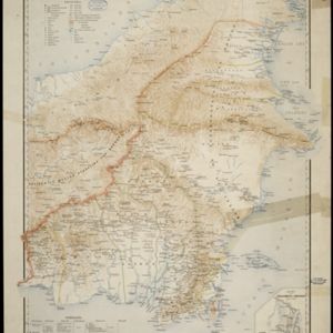
On this map, the residency of South and East Borneo is divided into departments (green borders) and provinces (yellow borders). There is an inset plan of the city of Banjarmasin, with rivers, buildings, residential areas, roads and crops marked.

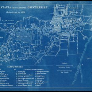
De stad Batavia met derzelver omstreken: Geteekend in 1826

event1898

location_onIndonesia

The city of Batavia (Jakarta) with its port and castle is to the north (right side of the map). Koningsplein (Merdeka Square), a large area of rice paddies, graveyards and villages can be seen to the south (left). Copied from a c.1826 map.

Kaart van Batavia omstreeks 240 jaren geleden overgebracht in 1864

event1898

location_onIndonesia

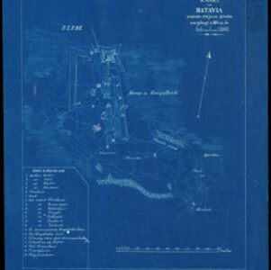
Although published in the 19th century, this is a copy of a much earlier map of Batavia (Jakarta) from c.1625. It focuses on the castle and fortifications, but also shows the fields of crops and wetlands surrounding the city.

Kaart van Batavia omstreeks het jaar 1625

event1898

location_onIndonesia

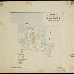
Although published in 1898, this map is copied from a c.1625 map of Batavia (Jakarta). It focuses on the castle and fortifications (in red), but also shows the fields of crops, a graveyard and the wetlands surrounding the city (in blue).

Atlas van Nederlandsch Oost-Indië

eventc.1897-1904

location_onIndonesia

Very detailed atlas of the entire Dutch East Indies, over 16 map sheets, with a cover and overview map. Includes topographic maps, inset maps of cities and islands, and maps featuring land and sea routes, languages, geology, colonial territory etc.

Plan of Singapore town

event1893

location_onSingapore

Large-scale plan of Singapore city, spread over eight sheets. Includes the central civic/business area around the Singapore River, Tanjong Pagar dock, and residential areas. The city is surrounded by suburbs, cemeteries, mangroves, vegetable gardens.

Map of Singapore showing the principal residences and places of interest

event1892

location_onSingapore

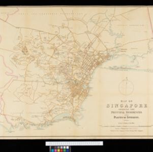
Map of the city of Singapore, including the central civic/business area around the Singapore River, Fort Canning, Tanjong Pagar dock, and residential areas. The city is surrounded by villages and plantations (pineapple, fruit and vegetable, coconut).

Sumatra

event1889

location_onIndonesia

Map of the city of Padang on the west coast of Sumatra, with inset maps of the nearby islands, featuring residential, business, government and military areas. There are also agricultural areas with coconut, nutmeg, bamboo, nipa palm and sago palm.

Nieuwe kaart van het eiland Java

event1816

location_onIndonesia

Map of Java marked with administrative regions, settlements, roads, mountains and rivers. There is an inset map of the port city of Batavia, with its system of rivers and canals, and its surrounding country with villages, fields and plantations.

close

  • Filter from 1816 to 1899

Current results range from 1816 to 1899