Search

Search Results

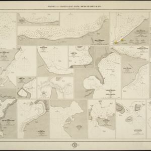
Plannen van ankerplaatsen Kleine Soenda eilanden

event1893

location_onIndonesia

Fifty-seven separate maps of bays, roadsteads—a body of water sheltered from tides/currents—and anchor points around the Lesser Sunda Islands. Landmarks, lighthouses, bathymetry (sea depth), shoals, reefs and other obstructions are marked.

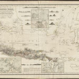
Reduzirte Karte vom Sunda- oder Borneo-Meere

event1835

location_onIndonesia, Malaysia

A navigation map of the Java Sea and Sunda Islands, with bathymetry (sea depth), maritime routes, shoals and reefs, and elevations (side views of terrestrial landmarks). Inset maps feature the bay at Batavia and the straits between the Sunda Islands.

Reduzirte Karte vom Sunda- oder Borneo-Meere

event1835

location_onMalaysia, Indonesia

A navigation map of the Java Sea and Sunda Islands, with bathymetry (sea depth), maritime routes, shoals and reefs, and elevations (side views of terrestrial landmarks). Inset maps feature the bay at Batavia and the straits between the Sunda Islands.

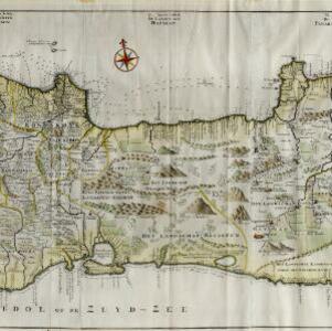
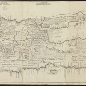
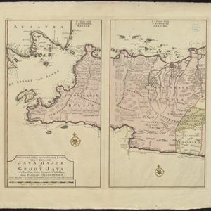
Nieuwe en zeer naaukeurige kaart van t eyland Java Major of Groot Java: verdeeld in seven byzondere bestekken

event1728

location_onIndonesia

On this beautifully illustrated and coloured map of Java, mountains, trees, fields of crops and settlements are shown pictorially. The coasts are marked with shoals, reefs, bathymetry (sea depth, in figures) and anchor points.

Nieuwe en zeer naaukeurige kaart van t eyland Java Major of Groot Java: verdeeld in seven byzondere bestekken

eventc.1726

location_onIndonesia

On this beautifully illustrated and detailed map of Java, mountains, trees, fields of crops and settlements are shown pictorially. The coasts are marked with shoals, reefs, bathymetry (sea depth, in figures) and anchor points.

Kaart van het Eyland Bali

event1726

location_onIndonesia

On this map of Bali (and parts of Java and Lombok), mountains, trees, fields and settlements are shown pictorially. The coasts are marked with shoals (dots), reefs (crosses), bathymetry (sea depth, in figures) and anchor points (anchor symbols).

close