Search

Search Results

Nederlandsch Oost-Indië

event1865

location_onBrunei, Cambodia, East Timor, Indonesia, Laos, Malaysia, Myanmar, Vietnam, Thailand, Southeast Asia, Singapore, Philippines, Papua New Guinea

This detailed map of the Dutch East Indies in the mid-19th century contains a great deal of information: topographical details, settlements and administrative areas, roads, railways and maritime routes, telegraph lines, inset maps etc.

A sketch of the rivers of Siam from the observations of the American missionaries

eventc.1860-1869

location_onThailand

A sketch of the river networks discharging into the Gulf of Siam (Gulf of Thailand), derived from the observations of mid-19th century American missionaries. Settlements along the rivers are noted, as are areas where sugarcane was grown.

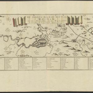
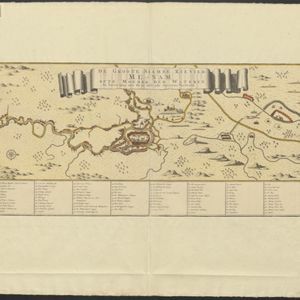
De Groote Siamse Rievier Me-Nam, ofte Moeder der Wateren: In haren loop met de in vallende Spruyten Verbeeld

event1726

location_onThailand

Map of the Me-nam River (Chao Phraya River) with the city of Ayutthaya (labelled ‘Siri India’) in the centre. Its mouth at the Gulf of Thailand is to the left. Over 100 buildings, towns and other places are shown pictorially and listed in the legend.

close

  • Filter from 1726 to 1865

Current results range from 1726 to 1865