Search Results
Filter
Cultivation/Extraction
Crops
Remove constraint Cultivation/Extraction: Crops
Simple Location
Indonesia
Remove constraint Simple Location: Indonesia
Transport Hubs
Railway Station
Remove constraint Transport Hubs: Railway Station
Collections
Bodleian Libraries, University of Oxford
Remove constraint Collections: Bodleian Libraries, University of Oxford
6 Results found

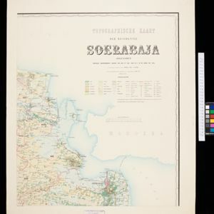
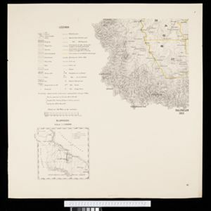
Topographische kaart der residentie Soerabaja
1895
Indonesia
The residency of Soerabaja, East Java, featuring crops (coffee, coconut, sugarcane, rice, alang-alang, bamboo) and fishing ponds. Three inset maps: a triangulation map; a map of distances between settlements by types of transport; Bawean Island.

Kaart van de Afdeeling Deli der residentie Oostkust van Sumatra
1887
Indonesia
A map of the department of Deli, Java, divided into administrative districts, and spread over eight sheets. Rivers, railways, roads and paths, forests and mountains, and crops—rice, coconut, pepper, nutmeg, alang-alang—are marked.


