Search Results

Algemeene kaart van Nederlandsch Indië
1879
Cambodia, Indonesia, Papua New Guinea, East Timor, Southeast Asia, Thailand, Malaysia, Philippines, Laos, Vietnam, Singapore, Brunei, Myanmar
A late 19th century map of the Dutch East Indies on four sheets, detailing maritime routes around the region. There are also inset maps showing railways, rivers, roads, and telegraph systems, as well as individual islands and cities.

Carte des environs de Batavia = Kaart van de buitenstreeken van Batavia
c.1772-1780
Indonesia
This late 18th century map of Batavia (Jakarta) focusses on the network of canals and rivers surrounding the city, as well as the many fields and plantations, including rice fields (‘Champ de Ris’) and sugarcane (‘Cannes de Sucre’).

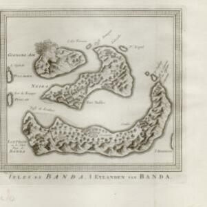
Isles de Banda = Eylanden van Banda
c.1772-1780
Indonesia
Map of the Banda Islands—which was at this time the only source of nutmeg in the world—featuring mountains, plantations, settlements and a military fort. On the island of Goenong Api (Banda Api) a volcano erupts (‘api’ means ‘fire’ in Indonesian).

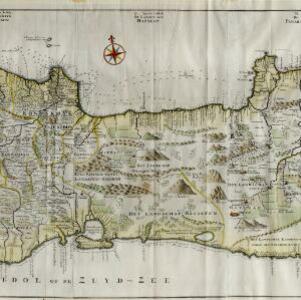
Nieuwe en zeer naaukeurige kaart van t eyland Java Major of Groot Java: verdeeld in seven byzondere bestekken
1728
Indonesia
On this beautifully illustrated and coloured map of Java, mountains, trees, fields of crops and settlements are shown pictorially. The coasts are marked with shoals, reefs, bathymetry (sea depth, in figures) and anchor points.

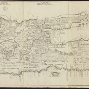
Carte de l'ile de Java: partie occidentale, partie orientale, dressée tout nouvellement sur les mémoires les plus exacts
1726
Indonesia
The mountains and forests of early 18th century Java are beautifully illustrated here by the Dutch cartographer Henry Abraham Chatelain (1648-1743). Details include cities, fields of crops, animals and people. An inset map shows the port of Batavia.

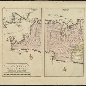
Nieuwe en zeer naaukeurige kaart van t eyland Java Major of Groot Java: verdeeld in seven byzondere bestekken
c.1726
Indonesia
On this beautifully illustrated and detailed map of Java, mountains, trees, fields of crops and settlements are shown pictorially. The coasts are marked with shoals, reefs, bathymetry (sea depth, in figures) and anchor points.


