Search

Search Results

Map of the Island of Singapore and its dependencies

event1898

location_onSingapore

Kaart der Molukken

event1898

location_onIndonesia, East Timor

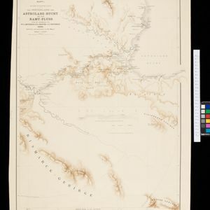
Kaiser Wilhelms-Land: Das Hinterland der Astrolabe-Bucht bis zum Ramu-Fluss

event1896

location_onPapua New Guinea

Rough Sketch of 200 miles of the western portion of British New Guinea, including rivers

event1890

location_onPapua New Guinea

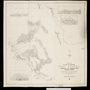
Map of part of south-east New Guinea embracing its northern and southern waters

event1889

location_onPapua New Guinea

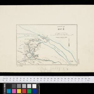
Sketch of Hué

event1885

location_onVietnam

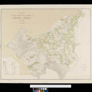
Kaart van het terrein des Oorlogs in Groot-Atjeh in 1876

event1883

location_onIndonesia

Map of Prince of Wales' Island or Pulo Penang and province Wellesley

event1853

location_onMalaysia

Algemeene Kaart van Nederlandsch Oostindie

event1842

location_onEast Timor, Indonesia, Malaysia, Singapore

close

  • Filter from 1842 to 1898

Current results range from 1842 to 1898