Search

Search Results

Atlas van Nederlandsch Oost-Indië

eventc.1897-1904

location_onIndonesia

Very detailed atlas of the entire Dutch East Indies, over 16 map sheets, with a cover and overview map. Includes topographic maps, inset maps of cities and islands, and maps featuring land and sea routes, languages, geology, colonial territory etc.

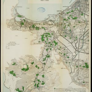
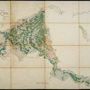
Kaart van het Westelijk gedeelte bezet in Groot-Atjèh

event1895

location_onIndonesia

This map of Groot-Atjèh (Aceh, northern Sumatra) focuses on the western part occupied during the Aceh War. It shows mountains, wetlands, forests, villages, routes and crops (rice, coconut, banana, sugar, sugarcane, bamboo, alang-alang, betel).

Kaart van het terrein des oorlogs in Groot-Atjeh

event1883

location_onIndonesia

The Aceh War (1873–1904) between the Sultanate of Aceh and Dutch colonists is highlighted on this map of Groot-Atjeh in 1876. Flag symbols mark the locations of Dutch military posts, and some villages are described as ‘verbrande [burnt]’.

Algemeene kaart van Nederlandsch Indië

event1879

location_onCambodia, Indonesia, Papua New Guinea, East Timor, Southeast Asia, Thailand, Malaysia, Philippines, Laos, Vietnam, Singapore, Brunei, Myanmar

A late 19th century map of the Dutch East Indies on four sheets, detailing maritime routes around the region. There are also inset maps showing railways, rivers, roads, and telegraph systems, as well as individual islands and cities.

Kaart van Groot-Atjeh

event1878

location_onIndonesia

This map of Groot-Atjeh (Aceh, northern Sumatra) focuses on the area in and around the city of Kota Radja (Banda Aceh) during the Aceh War. It shows current and former Dutch military fortifications, inhabited and abandoned villages, and rice paddies.

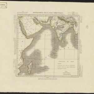
Possessions Françaises orientales

eventc.1845

location_onMyanmar

Although this map focuses on French colonial possessions in Africa, the Arabian Peninsula and India, a small part of Southeast Asia is shown: labelled ‘Birmans’, it was part of the Birman Empire (modern Myanmar).

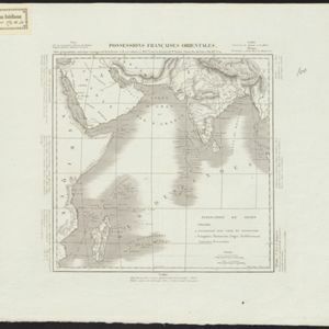
Possessions Françaises orientales

eventc.1845

location_onMyanmar

Although this map focuses on French colonial possessions in Africa, the Arabian Peninsula and India, a small part of Southeast Asia is shown: labelled ‘Birmans’, it was part of the Birman Empire (modern Myanmar).

Possessions Françaises orientales

eventc.1845

location_onMyanmar

Although this map focuses on French colonial possessions in Africa, the Arabian Peninsula and India, a small part of Southeast Asia is shown: labelled ‘Birmans’, it was part of the Birman Empire (modern Myanmar).

Possessions Françaises orientales

eventc.1845

location_onMyanmar

Although this map focuses on French colonial possessions in Africa, the Arabian Peninsula and India, a small part of Southeast Asia is shown: labelled ‘Birmans’, it was part of the Birman Empire (modern Myanmar).

Kaart van de Nederlandsche bezittingen in Oost-Indië

event1840

location_onBrunei, East Timor, Indonesia, Malaysia, Philippines, Singapore

This map shows the Dutch colonial possessions in the East Indies in the mid-19th century. The text provides great detail about the people, religion, crops, animals, geography and administration of the Dutch East Indies.

Algemeene kaart van Nederlandsch Oostindie

eventc.1839-1855

location_onEast Timor, Indonesia, Malaysia, Singapore

This map of the Dutch East Indies is spread over eight sheets, with a hand-drawn cover sheet showing the whole area. There are numerous inset maps of islands, bays, cities etc. Two of the inset maps have a replacement map pasted over them.

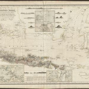
Reduzirte Karte vom Sunda- oder Borneo-Meere

event1835

location_onMalaysia, Indonesia

A navigation map of the Java Sea and Sunda Islands, with bathymetry (sea depth), maritime routes, shoals and reefs, and elevations (side views of terrestrial landmarks). Inset maps feature the bay at Batavia and the straits between the Sunda Islands.

close

  • Filter from 1720 to 1897

Current results range from 1720 to 1897