Search Results
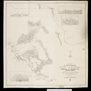
Map of part of south-east New Guinea embracing its northern and southern waters
1889
Papua New Guinea
This map focuses on the southern coast including the capital Port Moresby, with the northern regions left mostly blank. There are four inset drawings of side views of mountains (elevations), and the border with German New Guinea is marked.
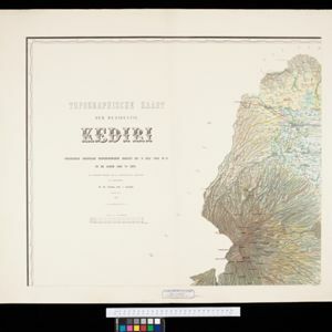
Topographische Kaart der residentie Kediri
1889
Indonesia
Four-sheet topographic map of the residency of Kediri (East Java), divided into regencies (pink borders) and districts (yellow borders). Mountains, forests, settlements, routes and crops—sugarcane, alang-alang, rice, coffee, sugar, nutmeg—are shown.
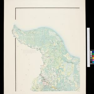
Topographische Kaart der residentie Krawang
1889
Indonesia
The residency of Krawang (Karawang), West Java, featuring plantations (coffee, coconut, cinnamon, nutmeg, sugar); crops (rice, alang-alang, bamboo); post offices, routes (road, postal, canals), administrative borders; mountains, rivers, forests.
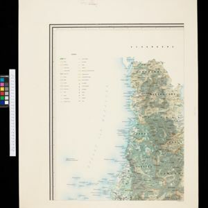
Kaart van zuid Celebes mit uitzondering van het rijk Gowa
1888
Indonesia
Map of the South Peninsula of Celebes (Sulawesi), spread over four sheets. It features crops (alang-alang, coffee, rice, sugarcane), fishing ponds, salt panning, routes, mountains, forests and settlements. The Gowa Regency is left blank.
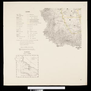
Kaart van de Afdeeling Deli der residentie Oostkust van Sumatra
1887
Indonesia
A map of the department of Deli, Java, divided into administrative districts, and spread over eight sheets. Rivers, railways, roads and paths, forests and mountains, and crops—rice, coconut, pepper, nutmeg, alang-alang—are marked.
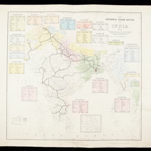
The external trade routes of India: with tables showing the amount and value of the principal exports and imports of the chief Indian sea ports and frontier states
1886
Myanmar, Thailand
This map of the trade routes of India includes Burma (Myanmar) and part of Siam (Thailand). The Rangoon and Irrawaddy Valley State Railway is marked. There are tables showing the values of imports and exports for each area, listed by produce type.
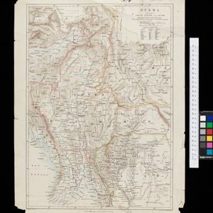
Burma: with parts of India, China, and Siam
1886
Myanmar, Laos, Thailand
Map of Burma labelled with indigenous peoples (uppercase red text) and products (salt, copper, tea, rubies, coal, rubber, petroleum, marble, jade, silver) of each area. It also marks two journeys by the explorer J. Annan Bryce, and proposed railways.
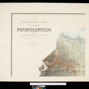
Topographische Kaart der residentie Probolinggo
1885
Indonesia
Four-sheet topographic map of the residency of Probolinggo (East Java), with an inset map of distances between locations by rail and road, and a signal map. Crops, fishing ponds, sugar factories, and coffee and salt warehouses are shown.
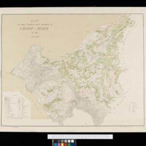
Kaart van het terrein des Oorlogs in Groot-Atjeh in 1876
1883
Indonesia
The Aceh War (1873–1904) between the Sultanate of Aceh and Dutch colonists is highlighted on this map of Groot-Atjeh in 1876. Flag symbols mark the locations of Dutch troops, while a red line records the route marched by ‘agitating troops’ in 1875-6.


