Search

Search Results

Map of the Island of Singapore and its dependencies

event1898

location_onSingapore

Map of Singapore Island, divided into Districts, including the surrounding islands and straits. The city centre, roads and forests are marked. MacRitchie Reservoir is at the centre of the island, with coconut plantations along the east coast.

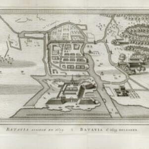
Batavia assiegé en 1629 = Batavia A.o 1629 belegerd

eventc.1772-1780

location_onIndonesia

This unusual map of Batavia in the late 18th century shows the port city as seen when approaching from the sea. The castle is depicted prominently as a three-dimensional drawing, with the rest of the city behind more flat like a plan.

Carte de l'ile de Java: partie occidentale, partie orientale, dressée tout nouvellement sur les mémoires les plus exacts

event1726

location_onIndonesia

The mountains and forests of early 18th century Java are beautifully illustrated here by the Dutch cartographer Henry Abraham Chatelain (1648-1743). Details include cities, fields of crops, animals and people. An inset map shows the port of Batavia.

Carte de l'ile de Java: partie occidentale, partie orientale, dressée tout nouvellement sur les mémoires les plus exacts

event1720

location_onIndonesia

The mountains and forests of early 18th century Java are beautifully illustrated here by the Dutch cartographer Henry Abraham Chatelain (1648-1743). Details include cities, fields of crops, animals and people. An inset map shows the port of Batavia.

Carte de l'ile de Java: partie occidentale, partie orientale, dressée tout nouvellement sur les mémoires les plus exacts

event1719

location_onIndonesia

The mountains and forests of early 18th century Java are beautifully illustrated here by the Dutch cartographer Henry Abraham Chatelain (1648-1743). Details include cities, fields of crops, animals and people. An inset map shows the port of Batavia.

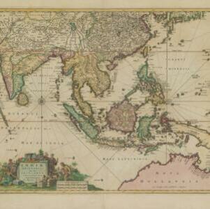
Indiae orientalis, nec non insularum adiacentium

event1698

location_onMyanmar, Philippines, Singapore, Southeast Asia, Thailand, Vietnam, Malaysia, Laos, Indonesia, East Timor, Cambodia, Brunei

The cartouche on this map of Asia is decorated with a colourful painting illustrating the region’s commerce, with Asian merchants displaying an assortment of goods, including jewellery, porcelain vessels and figurines, textiles and exotic animals.

Indiæ Orientalis nec non Insularum Adiacentium Nova Descriptio

event1685

location_onBrunei, Cambodia, East Timor, Indonesia, Laos, Malaysia, Myanmar, Philippines, Singapore, Southeast Asia, Thailand, Vietnam

The cartouche on this map of Asia is decorated with a colourful painting illustrating the region’s commerce, with Asian merchants displaying an assortment of goods, including jewellery, porcelain vessels and figurines, textiles and exotic animals.

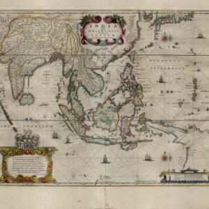
India quae Orientalis dicitur, et insvlae adiacentes

eventc.1645-1658

location_onBrunei, Cambodia, East Timor, Indonesia, Laos, Malaysia, Myanmar, Philippines, Singapore, Southeast Asia, Thailand, Vietnam

German text on the reverse of this map describes the populations, crops, trade etc. of Sumatra, Borneo, Philippines, and Banda Islands. There are drawings of sailing ships, and the map is dedicated to the Dutch merchant Christophoro Thisio.

close