Search

Search Results

Atlas van Nederlandsch Oost-Indië

eventc.1897-1904

location_onIndonesia

Very detailed atlas of the entire Dutch East Indies, over 16 map sheets, with a cover and overview map. Includes topographic maps, inset maps of cities and islands, and maps featuring land and sea routes, languages, geology, colonial territory etc.

Town of Singapore

event1892

location_onSingapore

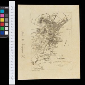
Plan of Singapore town, including Tanjong Pagar docks, the central civic/business area around the Singapore River, and residential areas. A roadstead—a body of water sheltered from tides/currents, for ships to anchor—is labelled ‘The Roads’.

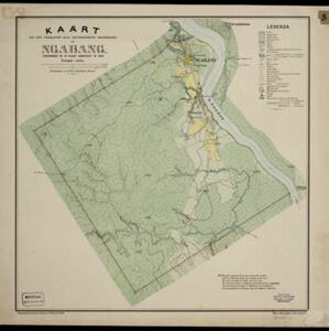
Kaart van den vierkanten paal gouvernements grondgebied te Ngabang

event1888

location_onIndonesia

Map of the town of Ngabang, on the Landak River, Borneo and the surrounding forest and mountains. Around the town are cemeteries, a well, a jail and a Chinese temple. Bamboo, coconut trees, fishing ponds and fields (including alang-alang) are marked.

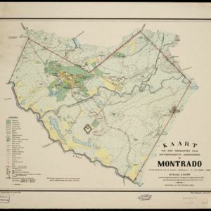
Kaart van den vierkanten paal gouvernements-grondgebied te Montrado

event1887

location_onIndonesia

A map of government land around the town of Montrado, Borneo, a gold mining centre in the 19th century, as shown by the number of gold mines (‘goudmijn’) marked. There are also crops—coconut, alang-alang, bamboo—and agricultural and fish ponds.

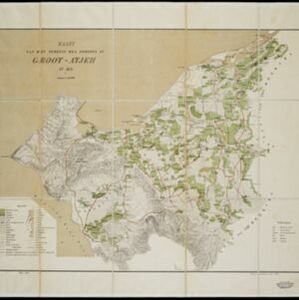
Kaart van het terrein des oorlogs in Groot-Atjeh in 1876

event1883

location_onIndonesia

The Aceh War (1873–1904) between the Sultanate of Aceh and Dutch colonists is highlighted on this map of Groot-Atjeh in 1876. Flag symbols mark the locations of Dutch troops, while a red line records the route marched by ‘agitating troops’ in 1875-6.

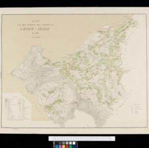
Kaart van het terrein des Oorlogs in Groot-Atjeh in 1876

event1883

location_onIndonesia

The Aceh War (1873–1904) between the Sultanate of Aceh and Dutch colonists is highlighted on this map of Groot-Atjeh in 1876. Flag symbols mark the locations of Dutch troops, while a red line records the route marched by ‘agitating troops’ in 1875-6.

Algemeene kaart van Nederlandsch Indië

event1879

location_onCambodia, Indonesia, Papua New Guinea, East Timor, Southeast Asia, Thailand, Malaysia, Philippines, Laos, Vietnam, Singapore, Brunei, Myanmar

A late 19th century map of the Dutch East Indies on four sheets, detailing maritime routes around the region. There are also inset maps showing railways, rivers, roads, and telegraph systems, as well as individual islands and cities.

Plattegrond der stad Samarang

event1866

location_onIndonesia

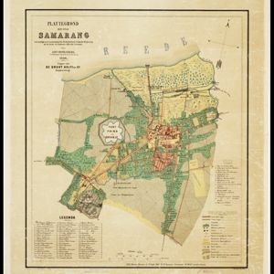
Mid-19th century map of the city of Samarang (Semarang, Central Java, Indonesia) dominated by the Fort Prins van Oranje. The railway station and Haven Kanal, which flows to the sea, are also prominent. The city is surrounded by villages and fields.

Nederlandsch Oost-Indië

event1865

location_onBrunei, Cambodia, East Timor, Indonesia, Laos, Malaysia, Myanmar, Vietnam, Thailand, Southeast Asia, Singapore, Philippines, Papua New Guinea

This detailed map of the Dutch East Indies in the mid-19th century contains a great deal of information: topographical details, settlements and administrative areas, roads, railways and maritime routes, telegraph lines, inset maps etc.

Singapore harbours and roads with the adjacent channels

event1840

location_onSingapore

An early 19th century map of Singapore’s southern coast and islands, with bathymetry (sea depth), shoals and reefs, anchor points, and notes to aid navigation. The roads and main buildings of Singapore city are also shown.

Plan of the town of Singapore

event1828

location_onSingapore

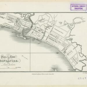
Known as the ‘Jackson Plan’, this is the earliest known plan of the city of Singapore, created by Lieutenant Philip Jackson in 1822. It was based on how Sir Stamford Raffles wanted Singapore to be developed, rather than the actual layout of the time.

Map of the River of Don-nai from Cape St. James to the city of Saigon

event1820

location_onVietnam

A map to aid in the navigation of the rivers leading to Saigon (Ho Chi Minh City, Vietnam). Details include bathymetry (water depth), currents, and a side view (or ‘elevation’) of hills to use as a landmark. Tides are described in written remarks.

close