Search

Search Results

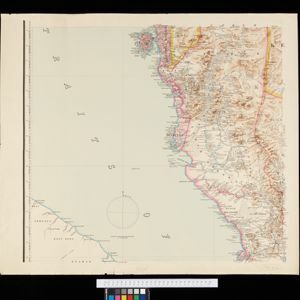
A map of the Malay Peninsula

event1898

location_onMalaysia, Singapore, Thailand

Map of the Malay Peninsula showcasing the Straits Settlements in pink, the Federated Malay States in red, and Siamese states in yellow. A table of common words in English, Malay and Siamese is included. Only four of six sheets are available.

Atlas van Nederlandsch Oost-Indië

eventc.1897-1904

location_onIndonesia

Very detailed atlas of the entire Dutch East Indies, over 16 map sheets, with a cover and overview map. Includes topographic maps, inset maps of cities and islands, and maps featuring land and sea routes, languages, geology, colonial territory etc.

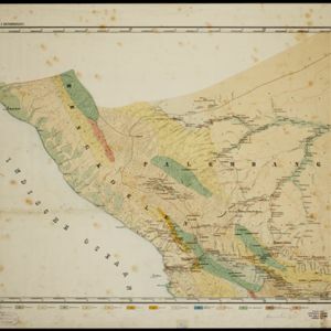
Topographische en geologische kaart van Zuid-Sumatra bevattende de residentien Bengkoelen, Palembang en Lampongsche Districten

event1880

location_onIndonesia

A topographical and geological map of southern Sumatra, over four sheets. Areas of igneous and sedimentary rock, coal, fossils, petroleum, active volcanoes and hot springs are marked, along with mountains, rivers and marshland, roads and settlements.

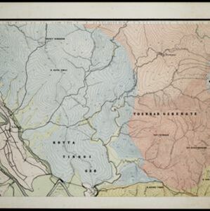
Geognostische kaart van het Oembilien kolenveld in de Padangsche bovenlanden, Sumatra's Westkust

event1874

location_onIndonesia

A geological map, spread over eight sheets, showing the types of rock and minerals found in the Oembilien coalfield, in the Padang Highlands on Sumatra’s west coast. There are also additional geological profiles.

close

  • Filter from 1874 to 1898

Current results range from 1874 to 1898