Search

Search Results

Atlas van Nederlandsch Oost-Indië

eventc.1897-1904

location_onIndonesia

Very detailed atlas of the entire Dutch East Indies, over 16 map sheets, with a cover and overview map. Includes topographic maps, inset maps of cities and islands, and maps featuring land and sea routes, languages, geology, colonial territory etc.

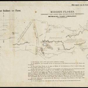
Midden-Flores (Terrein van actie der Noord-Flores-expeditie)

event1890

location_onIndonesia

Map of central Flores in the Lesser Sunda Islands, with extensive written notes describing the island, e.g. where the first Christians settled; the territories of local rulers; areas where Christians were replaced by Muslims; locations of tin mines.

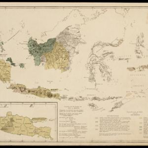
Kaart van den Indischen Archipel aangevende den bestaanden toestand met betrekking tot de Gouvernements Monopoliën van Opium en Zout

event1882

location_onIndonesia

Different levels of government monopolies are indicated on this map of the Dutch East Indies by the use of areas of colour (opium trade) and hash marks (salt trade). The inset map of Java is divided into residencies.

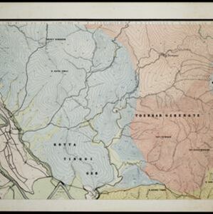
Geognostische kaart van het Oembilien kolenveld in de Padangsche bovenlanden, Sumatra's Westkust

event1874

location_onIndonesia

A geological map, spread over eight sheets, showing the types of rock and minerals found in the Oembilien coalfield, in the Padang Highlands on Sumatra’s west coast. There are also additional geological profiles.

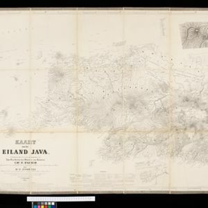
Kaart van het eiland Java

event1855

location_onIndonesia

Detailed map of Java based on the expeditions of the geologist and botanist Dr. Franz Junghuhn. There are 16 inset maps featuring volcanoes, mountains and coal seams.

Kaart van het eiland Java

event1855

location_onIndonesia

Detailed map of Java based on the expeditions of the geologist and botanist Dr. Franz Junghuhn. There are 16 inset maps featuring volcanoes, mountains and coal seams.

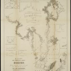
Kaart der verkennings reizen op Borneo

event1853

location_onIndonesia

Map charting expeditions in southern and eastern Borneo by the German geologist Carl Schwaner in the 1840s. Includes an inset map of rivers and watersheds in central Borneo, nine cross sections of the heights of rivers, and a plan of a gold mine.

Borneo

event1851

location_onMalaysia, Southeast Asia, Philippines, East Timor, Vietnam, Brunei, Indonesia

Map of Borneo—with insets of Southeast Asia, Sarawak and Labuan—featuring temperature data, volcanoes, English colonial territory, products of Borneo, geology (rock types), bathymetry (sea depth) and elevations (side views of mountains with heights).

Borneo

event1851

location_onMalaysia, Southeast Asia, Philippines, East Timor, Vietnam, Indonesia, Brunei

Map of Borneo—with insets of Southeast Asia, Sarawak and Labuan—featuring temperature data, volcanoes, English colonial territory, products of Borneo, geology (rock types), bathymetry (sea depth) and elevations (side views of mountains with heights).

Kaart van de Nederlandsche bezittingen in Oost-Indië

event1840

location_onBrunei, East Timor, Indonesia, Malaysia, Philippines, Singapore

This map shows the Dutch colonial possessions in the East Indies in the mid-19th century. The text provides great detail about the people, religion, crops, animals, geography and administration of the Dutch East Indies.

close