Search

Search Results

Map of Asia: Printed for the New York Central's 'Four-Track Series'

event1900

location_onMalaysia, Indonesia, Thailand, Myanmar, Cambodia, Vietnam, Papua New Guinea, Philippines, Singapore, Brunei, Laos, Southeast Asia

Colonial territory is labelled and colour-coded on this map of Southeast Asia. A list on the left edge gives the colonial status, size and population of Asian countries, and ranks the main cities by population. Gold and iron mines are marked.

Burma with parts of India, China and Siam

event1888

location_onMyanmar, Laos, Thailand

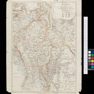
Map of Burma used as advertising by a clothing shop in Rangoon (Yangon, Myanmar). There is a calendar with each day marked with an historic event. The map is labelled with indigenous peoples (uppercase red text) and products of each area.

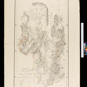
Districts Bhamo and Myitkyina

event1896

location_onMyanmar

Map of two districts in northern Burma (Myanmar) featuring the Irrawaddy River, the Burma State Railway (and others under construction), and mines (ruby, amber, jade). High points are marked with their heights so they can be used for triangulation.

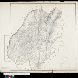
District Katha

event1894

location_onMyanmar

Map of the district of Katha in northern Burma (Myanmar) featuring the Irrawaddy River, and the Mu Valley State Railway (still partially under construction). High points are marked with their heights so they can be used for triangulation.

Map to illustrate the Siamese question: showing the present limits of French claims, and the additional territory now demanded

event1893

location_onCambodia, Laos, Malaysia, Myanmar, Thailand, Vietnam

Map highlighting areas of eastern Siam (Thailand) claimed by France. Notes describe Siam’s geography, government, population, military and trade (rice, teak, pepper, bullocks, fish, hides, tin, cardamom, tin), including trading partners by tonnage.

District Bhamo

event1893

location_onMyanmar

Map of the district of Bhamo in northern Burma (Myanmar) featuring the Irrawaddy River, railways (proposed and under construction, including the future Burma State Railway), and mines (amber, jade).

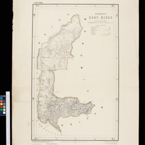
District Ruby Mines

event1893

location_onMyanmar

Map of the district of Ruby Mines in northern Burma (Myanmar) featuring the Irrawaddy and Shweli rivers. High points are marked with their heights so they can be used for triangulation. As the name suggests, the district was known for its rubies.

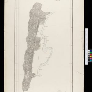
Portion of coal fields tract: Upper Chindwin district

event1892

location_onMyanmar

A map surveying coal fields close to the Chindwin River in Upper Burma (Myanmar). Mountains are shown by using hachures: short lines/dashes that give a sense of the shape and steepness of terrain. Survey stations are marked with their height.

Upper Burma: Preliminary map 1887

event1887

location_onMyanmar

Map of Upper Burma, with the city of Mandalay highlighted in red in the centre, and featuring the Irrawaddy and Chindwin rivers, roads and settlements. Mountains, forests and mines (coal, silver, rubies, amber) are marked.

Burma: with parts of India, China, and Siam

event1886

location_onMyanmar, Laos, Thailand

Map of Burma labelled with indigenous peoples (uppercase red text) and products (salt, copper, tea, rubies, coal, rubber, petroleum, marble, jade, silver) of each area. It also marks two journeys by the explorer J. Annan Bryce, and proposed railways.

Map of the Eastern Frontier of British India, with the adjacent countries

event1838

location_onMyanmar, Thailand

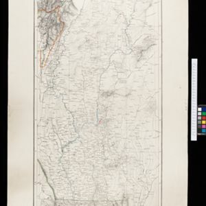
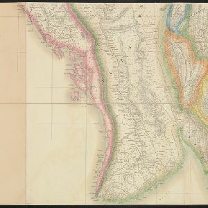
Regional and local borders are colour-coded, with mountains and rivers, settlements, paths/roads and names of local peoples marked. Notes such as ‘Gold dust found in these streams’ and ‘Rich in Tin’ add detail. Only two of four sheets are available.

Eastern islands or Malay archipelago

event1836

location_onBrunei, Cambodia, East Timor, Indonesia, Laos, Malaysia, Myanmar, Philippines, Singapore, Southeast Asia, Vietnam, Thailand

Brief notes printed on this 19th century map of Southeast Asia provide details about each region, including: numbers and ethnicity of the population, local or colonial rulers, crops and products, geography (corals, forests, volcanos, earthquakes).

close