Search

Search Results

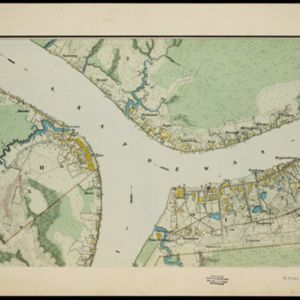
Kaart van den vierkanten paal (I en II) gouvernements grondgebied te Sintang

event1888

location_onIndonesia

The Kapoewas (Kapuas) and Melawi rivers converge on this map of the town of Sintang, Borneo. The town lines the river banks, and is surrounded by fields, forest and marshland. Arrows on the rivers mark the direction of their flow.

Kaart van de Nederlandsche bezittingen in Oost-Indië

event1840

location_onBrunei, East Timor, Indonesia, Malaysia, Philippines, Singapore

This map shows the Dutch colonial possessions in the East Indies in the mid-19th century. The text provides great detail about the people, religion, crops, animals, geography and administration of the Dutch East Indies.

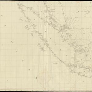
[Sumatra and the Strait of Malacca]

eventc.1800

location_onMalaysia, Singapore, Indonesia

Chart of maritime Southeast Asia, showing bathymetry (sea depth), islands, shoals, reefs, landmarks, and notes (‘Rock seen at Low Water’), all to aid navigation. A rhumbline network has been drawn on the map in pencil. Only one sheet is present.

close

  • Filter from 1800 to 1888

Current results range from 1800 to 1888