Search

Search Results

Sumatra

eventc.1899-1902

location_onIndonesia

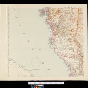
Eight sheets from a large-scale detailed topographic map of Sumatra (many other sheets are missing). Includes crops (rice, coconut, coffee, banana, sugar, gambier, cinnamon, bamboo, alang-alang, arenga palm), routes (railways, roads), settlements.

A map of the Malay Peninsula

event1898

location_onMalaysia, Singapore, Thailand

Map of the Malay Peninsula showcasing the Straits Settlements in pink, the Federated Malay States in red, and Siamese states in yellow. A table of common words in English, Malay and Siamese is included. Only four of six sheets are available.

District Katha

event1894

location_onMyanmar

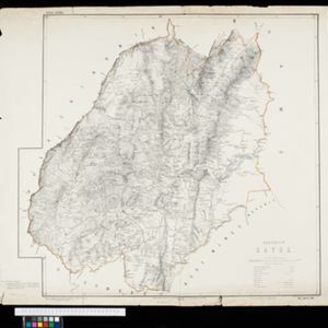
Map of the district of Katha in northern Burma (Myanmar) featuring the Irrawaddy River, and the Mu Valley State Railway (still partially under construction). High points are marked with their heights so they can be used for triangulation.

District Ruby Mines

event1893

location_onMyanmar

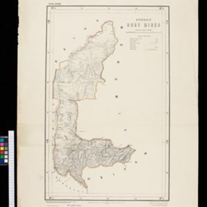
Map of the district of Ruby Mines in northern Burma (Myanmar) featuring the Irrawaddy and Shweli rivers. High points are marked with their heights so they can be used for triangulation. As the name suggests, the district was known for its rubies.

Kaart der Bataklanden en van het eiland Nijas

event1890

location_onIndonesia

A large-scale map of northern Sumatra, spread over 16 sheets, and divided into administrative regions. The island of Nijas (Nias) is marked with the locations of local tribes, and there is a list of other maps referenced in producing the map.

close

  • Filter from 1890 to 1899

Current results range from 1890 to 1899