
Search Results
Filter
Cultivation/Extraction
Plantation/Forestry Area
Remove constraint Cultivation/Extraction: Plantation/Forestry Area
Cultivation/Extraction
Crops
Remove constraint Cultivation/Extraction: Crops
Language
Italian
Remove constraint Language: Italian
Simple Location
Indonesia
Remove constraint Simple Location: Indonesia
6 Results found


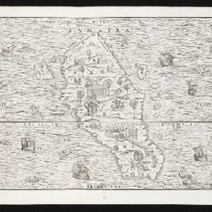
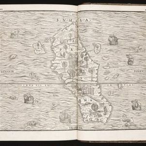
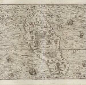

India tercera nvova tavola
1561
Cambodia, Indonesia, Laos, Malaysia, Myanmar, Philippines, Singapore, Southeast Asia, Thailand, Vietnam, Brunei
This mid-16th century map of Southeast Asia shows some inaccuracies, especially in the shape of the Malay Peninsula and the islands meant to represent Sumatra (labelled ‘Camatra’), Java (‘Iava Mazor’) and Borneo (‘Iava Menor’). Latin text on reverse.


