Search Results
4 Results found

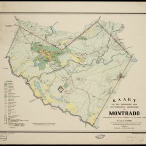
Kaart van den vierkanten paal gouvernements-grondgebied te Montrado
1887
Indonesia
A map of government land around the town of Montrado, Borneo, a gold mining centre in the 19th century, as shown by the number of gold mines (‘goudmijn’) marked. There are also crops—coconut, alang-alang, bamboo—and agricultural and fish ponds.

A map of Java: chiefly from surveys made during the British administration
1817
Indonesia
Made for ‘A History of Java’ by Sir Stamford Raffles, this map includes a list of administrative districts with their populations, and four inset maps of harbours. Another inset map shows rocks and minerals, mountains and volcanoes, and teak forests.
- Filter from 1817 to 1899
- [remove]Kampong/Village4
- Cemetery/Columbarium2
- Church1
- Military Barracks1
- Residential Area1
- Temple1
- [remove]Mining4
- [remove]Plantation/Forestry Area4
- Agricultural Pond2
- Crops2
- Fishing1


