Search

Search Results

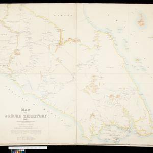
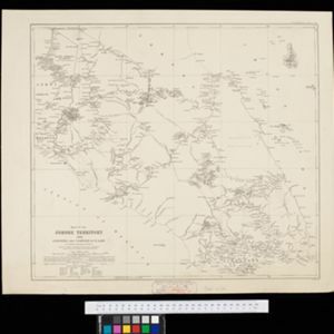
Map of the Johore Territory 1893

event1894

location_onMalaysia, Singapore

Map of the Malay state of Johor, and Singapore. The route of a proposed railway north from Johor Bahru is shown. Apart from rivers and mountains, much of the terrain is blank, with labels such as ‘Unexplored Hill Country’ or ‘Dense Jungle and Swamp’.

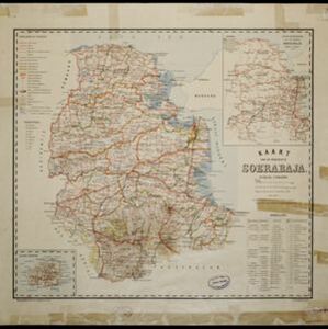
Kaart van der residentie Soerabaja

event1893

location_onIndonesia

A map of the residency of Soerabaja (East Java) divided into regencies, departments and districts. There are large fishing ponds around the coasts. An inset map shows distances between settlements by road, tracks and paths.

Residentie Madoera

event1893

location_onIndonesia

Large-scale topographic map of the residency of Madoera (Madura, off north east coast of Java) spread over multiple sheets plus a cover sheet of the whole area. It is divided into departments and districts. Only 60 out of ~120 sheets are available.

Map to illustrate the Siamese question: showing the present limits of French claims, and the additional territory now demanded

event1893

location_onCambodia, Laos, Malaysia, Myanmar, Thailand, Vietnam

Map highlighting areas of eastern Siam (Thailand) claimed by France. Notes describe Siam’s geography, government, population, military and trade (rice, teak, pepper, bullocks, fish, hides, tin, cardamom, tin), including trading partners by tonnage.

Map of Johore Territory 1893

event1893

location_onMalaysia, Singapore

Map of the Malay state of Johor, and Singapore. The route of a proposed railway north from Johor Bahru is shown. Apart from rivers and mountains, much of the terrain is blank, with labels such as ‘Unexplored Hill Country’ or ‘Dense Jungle and Swamp’.

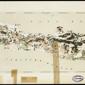
Kaart van den gemiddelden regenval op Java, tevens situatie-schets van de djati- en wildhoutbosschen

event1892

location_onIndonesia

This late 19th century map records the average rainfall at a variety of locations—marked with blue dots—on Java. Three types of forest are also shown: cultivated forest, wild forest under management, and wild forest not under management.

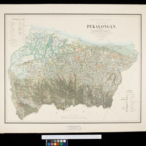
Topographische Kaart der residentie Pekalongan

event1892

location_onIndonesia

Topographic map of the residency of Pekalongan (Central Java), divided into regencies (pink borders) and districts (yellow borders). Mountains, forests, settlements, routes, crops—alang-alang, coffee, sugar, rice—factories and warehouses are shown.

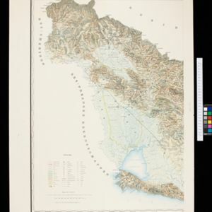
Topographische Kaart van de residentie Banjoemas

event1892

location_onIndonesia

The residency of Banjoemas (Banyumas), Central Java, featuring plantations (bamboo, teakwood, coconut, coffee, cinnamon) and rice; routes (road, postal, railway), administrative borders; mountains, rivers, wetlands, forests.

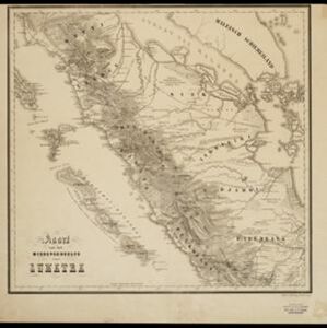
Kaart van het middengedeelte van Sumatra

event1890

location_onIndonesia

Details of each area’s resources are printed on this map of Sumatra: rattan, coffee, pepper, Chinese cinnamon, tobacco, resins, camphor, cotton, coal, gold, lumber, elephants, horses, as well as the locals’ ethnicity (Malays, Javanese, Acehnese).

Sumatra

event1889

location_onIndonesia

Map of the city of Padang on the west coast of Sumatra, with inset maps of the nearby islands, featuring residential, business, government and military areas. There are also agricultural areas with coconut, nutmeg, bamboo, nipa palm and sago palm.

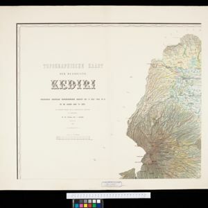
Topographische Kaart der residentie Kediri

event1889

location_onIndonesia

Four-sheet topographic map of the residency of Kediri (East Java), divided into regencies (pink borders) and districts (yellow borders). Mountains, forests, settlements, routes and crops—sugarcane, alang-alang, rice, coffee, sugar, nutmeg—are shown.

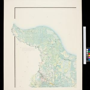
Topographische Kaart der residentie Krawang

event1889

location_onIndonesia

The residency of Krawang (Karawang), West Java, featuring plantations (coffee, coconut, cinnamon, nutmeg, sugar); crops (rice, alang-alang, bamboo); post offices, routes (road, postal, canals), administrative borders; mountains, rivers, forests.

close