Search Results
20 Results found

Kaart van de residentie Oostkust van Sumatra
1896
Indonesia
Detailed topographical map of the east coast of Sumatra, spread over 36 sheets. The area’s farms are listed and shown on the map within yellow borders, with types of crop grown. There is a detailed plan of Medan, and five inset maps of other towns.

Kaart van Ampenan, Mataram en Tjakranagara met aangrenzend terrein
1895
Indonesia
A map of Mataram in the late 19th century showing it as a kampong (village) surrounded by paddy fields (rectangular parcels of land for growing rice). The map’s whole area is now just part of what is the largest city on the island on Lombok.
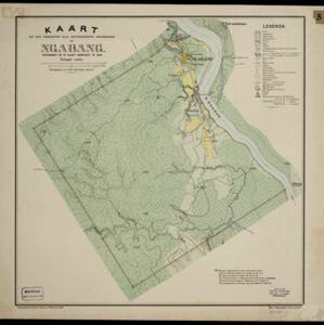
Kaart van den vierkanten paal gouvernements grondgebied te Ngabang
1888
Indonesia
Map of the town of Ngabang, on the Landak River, Borneo and the surrounding forest and mountains. Around the town are cemeteries, a well, a jail and a Chinese temple. Bamboo, coconut trees, fishing ponds and fields (including alang-alang) are marked.
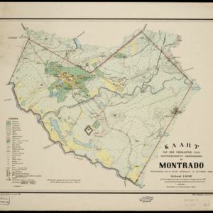
Kaart van den vierkanten paal gouvernements-grondgebied te Montrado
1887
Indonesia
A map of government land around the town of Montrado, Borneo, a gold mining centre in the 19th century, as shown by the number of gold mines (‘goudmijn’) marked. There are also crops—coconut, alang-alang, bamboo—and agricultural and fish ponds.
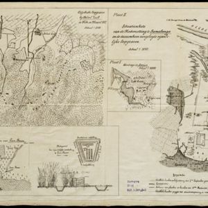
[Schetskaarten van versterkingen, loopgraven, stellingen, bentengs e.d. uit de Atjeh oorlog]
1880
Indonesia
Multiple maps from the Aceh War, spread over 12 sheets. Includes maps of fortifications, trenches, battle formations; building plans, including the Aceh Sultan’s palace; topographic maps; and drawings of a ‘kotta mara’ (fortified raft).

Algemeene kaart van Nederlandsch Indië
1879
Cambodia, Indonesia, Papua New Guinea, East Timor, Southeast Asia, Thailand, Malaysia, Philippines, Laos, Vietnam, Singapore, Brunei, Myanmar
A late 19th century map of the Dutch East Indies on four sheets, detailing maritime routes around the region. There are also inset maps showing railways, rivers, roads, and telegraph systems, as well as individual islands and cities.
- Filter from 1772 to 1898
- Crops20
- [remove]Plantation/Forestry Area20
- Fishing7
- Agricultural Pond2
- Mining1
- [remove]Civic/Metropolitan Border20
- District/Administrative Border10
- Colonial Possessions4
- National Border1


