Search

Search Results

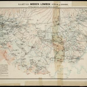
Kaart van midden Lombok

event1897

location_onIndonesia

Map of southern Lombok in the Lesser Sunda Islands, including the capital city Mataram, other settlements, routes and crops/plantations—rice, coconut, tea, coffee, banana, alang-alang, bamboo, arenga palm—with more mountainous regions to the north.

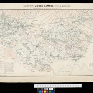
Kaart van Midden Lombok

event1897

location_onIndonesia

Map of southern Lombok in the Lesser Sunda Islands, including the capital city Mataram, other settlements, routes and crops/plantations—rice, coconut, tea, coffee, banana, alang-alang, bamboo, arenga palm—with more mountainous regions to the north.

Kaart van de residentie Oostkust van Sumatra

event1896

location_onIndonesia

Detailed topographical map of the east coast of Sumatra, spread over 36 sheets. The area’s farms are listed and shown on the map within yellow borders, with types of crop grown. There is a detailed plan of Medan, and five inset maps of other towns.
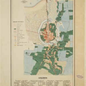
Kaart van de Hoofdplaats Padang

event1896

location_onIndonesia

Map of the city of Padang, Sumatra, featuring roads, religious and military buildings, markets, warehouses and factories, and a railway station. Surrounding areas have villages and fields of rice, nutmeg, coconut, bamboo, alang-alang, sugarcane.

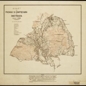
Kaart van Padang Si Dimpoewan en omstreken

event1895

location_onIndonesia

Map of Padang Si Dimpoewan (modern city of Padangsidempuan, northern Sumatra) including a military camp and accommodation, schools, a market, jail and graveyard. Crops are grown in the surrounding area: rice, coconut, coffee, alang-alang, bamboo.
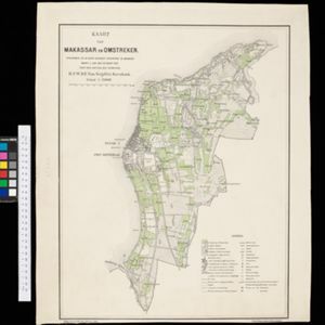
Kaart van Makassar en Omstreken

event1894

location_onIndonesia

Map of the city of Makassar, Celebes (Suawesi), with the Dutch Fort Rotterdam, Koning’s Plein (King's Square) and a military hospital. The surrounding area has villages and crops: rice (paddy) fields, coconut, bamboo, nipa palm, banana.

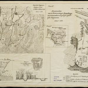
[Schetskaarten van versterkingen, loopgraven, stellingen, bentengs e.d. uit de Atjeh oorlog]

event1880

location_onIndonesia

Multiple maps from the Aceh War, spread over 12 sheets. Includes maps of fortifications, trenches, battle formations; building plans, including the Aceh Sultan’s palace; topographic maps; and drawings of a ‘kotta mara’ (fortified raft).

Plattegrond der stad Soerabaija

event1867

location_onIndonesia

A mid-19th century map of the city of Soerabaija (Surabaya, East Java, Indonesia) showing its recently built defences, including the ‘Citadel Prins Hendrik’ fort and a walled moat. Outside the city are villages, plantations and fields.

close

  • Filter from 1867 to 1897

Current results range from 1867 to 1897