Search

Search Results

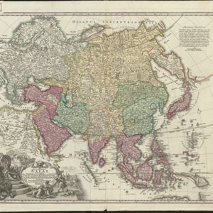
Asia secundum legitimas projectionis stereographicae regulas et juxta recentissimas observation et relationes = Carte de l'Asie, projettée stereographiquement, tirée des relations et observations

event1744

location_onBrunei, Cambodia, East Timor, Indonesia, Laos, Malaysia, Myanmar, Philippines, Singapore, Southeast Asia, Thailand, Vietnam

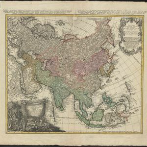
This mid-18th century map of Asia has a stereographic projection to aid navigation. An illustration features Asian men—probably merchants, one of whom sits on a throne—and a kneeling elephant.

Asia secundum legitimas projectionis stereographicae regulas et juxta recentissimas observation et relationes = Carte de l'Asie, projettée stereographiquement, tirée des relations et observations

event1744

location_onBrunei, Cambodia, East Timor, Indonesia, Laos, Malaysia, Myanmar, Philippines, Singapore, Southeast Asia, Thailand, Vietnam

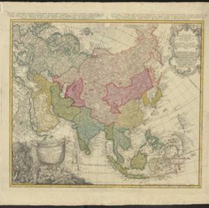
This mid-18th century map of Asia has a stereographic projection to aid in navigation. There is also an illustration featuring two Asian men depicted as warriors, with a robed woman, as well as a large lizard.

Asia secundum legitimas projectionis stereographicae regulas et juxta recentissimas observation et relationes = Carte de l'Asie, projettée stereographiquement, tirée des relations et observations

event1744

location_onBrunei, Cambodia, East Timor, Indonesia, Laos, Malaysia, Myanmar, Philippines, Singapore, Southeast Asia, Thailand, Vietnam

This mid-18th century map of Asia has a stereographic projection to aid navigation. An illustration features Asian men—probably merchants, one of whom sits on a throne—and a kneeling elephant.

Asia secundum legitimas projectionis stereographicae regulas et juxta recentissimas observation et relationes = Carte de l'Asie, projettée stereographiquement, tirée des relations et observations

event1744

location_onBrunei, Cambodia, East Timor, Indonesia, Laos, Malaysia, Myanmar, Philippines, Singapore, Southeast Asia, Thailand, Vietnam

This mid-18th century map of Asia has a stereographic projection to aid navigation. An illustration features Asian men—probably merchants, one of whom sits on a throne—and a kneeling elephant.
Royaume de Siam, avec les Royaumes qui luy sont Tributaires, et les Isles de Sumatra, Andemaon etc.

event1742

location_onBrunei, Cambodia, Indonesia, Laos, Malaysia, Myanmar, Singapore, Thailand, Vietnam

Map marking the routes through maritime Southeast Asia of two delegations: a French delegation from Brest, France to Siam in 1685; and a Siamese delegation from Siam to Brest in 1686. A note next to Aceh records a sea battle against Portugal in 1616.

Recentissima Asiae Delineatio: Qua Imperia eius, Regn, et Status...

event1730

location_onBrunei, Cambodia, East Timor, Indonesia, Laos, Malaysia, Myanmar, Papua New Guinea, Singapore, Philippines, Southeast Asia, Thailand, Vietnam

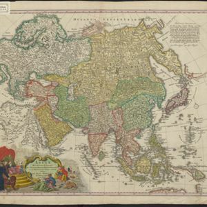
This map's cartouche features an illustration of three men bowing before a ruler on a throne. There is also what was probably meant to be a lion, though the poor likeness suggests it was based on written descriptions rather than real life experience.

Exactissima Asiae delineatio, in praecipuas regiones, ceterasq partes divisa

event1727

location_onBrunei, Cambodia, East Timor, Indonesia, Laos, Malaysia, Myanmar, Philippines, Singapore, Southeast Asia, Thailand, Vietnam

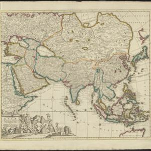
The cartouche on this late 17th century map of Asia features an illustration of Asian traders negotiating a deal. In the background, their workers carry packages and tend to a camel.

A map of the East-Indies and the adjacent countries: with the settlements, factories and territories, explaning what belongs to England, Spain, France, Holland, Denmark, Portugal &c.

eventc.1720

location_onBrunei, Cambodia, East Timor, Indonesia, Laos, Malaysia, Myanmar, Philippines, Singapore, Southeast Asia, Thailand, Vietnam

This map showcases the colonial territories of Southeast Asia in the 18th century, with text detailing trading information and the products of each region. There are five inset maps featuring plans of specific trading ports.

Asiae recentissima delineatio, qua Status et Imperia totius Orientis unacum Orientalibus Indiis exhibentur

event1720

location_onBrunei, Cambodia, East Timor, Indonesia, Laos, Malaysia, Myanmar, Philippines, Singapore, Southeast Asia, Thailand, Vietnam

This map's cartouche features an illustration of three men bowing before a ruler on a throne. There is also what was probably meant to be a lion, though the poor likeness suggests it was based on written descriptions rather than real life experience.

close

  • Filter from 1570 to 1840

Current results range from 1570 to 1840