Search
Refine your results
- Filter from 1729 to 1871
Current results range from 1729 to 1871
Location
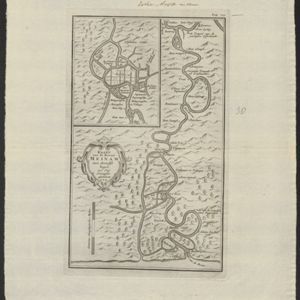
- check_box_outline_blankAyutthaya2
- check_box_outline_blankBangkok2
- check_box_outline_blankBankock2
- check_box_outline_blankChao Phraya River2
- check_box_outline_blankJuthia2
- check_box_outline_blankRivier Meinam2
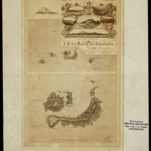
- check_box_outline_blankBanda Api1
- check_box_outline_blankBanda Besar1
- check_box_outline_blankBanda Eilanden1
- check_box_outline_blankBanda Islands1
- check_box_outline_blankBanda Neira1
- check_box_outline_blankBanda Sea1
- more Detailed Location »


