Search Results
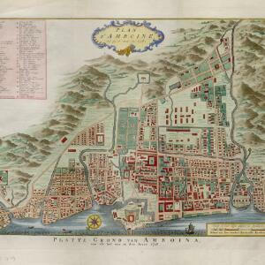
Plan d'Amboine, tel qu'il étoit en 1718 = Platte-grond van Amboina, zoo als het was in den jaare 1718
c.1746-1770
Indonesia
This colourful mid-18th century plan of the city of Amboine (Ambon, capital of Ambon Island, in the Maluku Islands, Indonesia) has a detailed legend identifying locations within the city and the surrounding mountains. The text is in French and Dutch.
Nieuwe afteekeningh van de Noord Küst van Java vertoonende de reede van Batavia en Bantem
1740
Indonesia
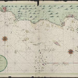
A map of the northern coast of Java and the important port cities of Batavia (Jakarta) and Bantem (Banten). The web of lines is a rhumbline network, and shoals, reefs and bathymetry (sea depth) are marked, all to aid navigation.
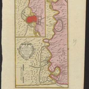
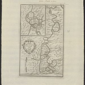
Carte du cours de la Riviere de Meinam: depuis Judia jusqu'à son embouchure
1730
Thailand
Map of the Meinam (Chao Phraya) river from the city of Judia (Ayutthaya) to its mouth near Bangkok. Features temples, villages, a Bishop's Palace, a fort at Bangkok, and a ‘Champ des Eléphans [Elephant Field]’. The text is in French and Dutch.
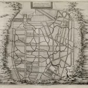
La ville de Materan, capitale du roiaume de même nom, avec ses environs: le tout environné de montagnes qui lui serve de murailles
1729
Indonesia
This map of the city of Mataram, on the Indonesian island of Lombok, shows the city surrounded by detailed illustrations of mountains which, the map’s subtitle notes, ‘serve de murailles’ [serve as its walls].

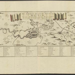
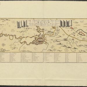
De Groote Siamse Rievier Me-Nam, ofte Moeder der Wateren: In haren loop met de in vallende Spruyten Verbeeld
1726
Thailand
Map of the Me-nam River (Chao Phraya River) with the city of Ayutthaya (labelled ‘Siri India’) in the centre. Its mouth at the Gulf of Thailand is to the left. Over 100 buildings, towns and other places are shown pictorially and listed in the legend.

