Search

Search Results

The continent and islands of Asia: with all the latest discoveries

event1809

location_onVietnam, Myanmar, Papua New Guinea, Philippines, Singapore, Southeast Asia, Thailand, Malaysia, Laos, Indonesia, East Timor, Cambodia, Brunei

Southeast Asia is on the last sheet of this map of Asia. The South China Sea is labelled ‘Malayan Sea’. Small islands, shoals and reefs are shown. A label in Cochin China (Vietnam) reads ‘mountains inhabited by the uncivilized people called Kemoys’.

A New Chart of the Eastern Straits, or the Straits to the East of Java, with a part of the Banda Sea

event1798

location_onEast Timor, Indonesia

A late 18th century maritime navigation map of the straits east of Java, with drawings of the elevations of the straits. The map is also marked with routes of explorers, including the return of Captain Cook’s HMS Endeavour from Australia in 1770.

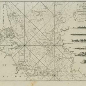
A new chart containing the southwest part of the China Sea comprised between the Malaya Peninsula, Straits of Singapore &c. the Straits of Banca, Gaspar and Billiton and the Isle of Borneo

event1794

location_onIndonesia

A map of the China Sea between Malaya, Sumatra and Borneo. The numbers indicate sea depth (bathymetry), and there are drawings of the side views of some of the islands (elevations), both used to aid navigation. Some maritime routes are also marked.

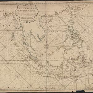
A new chart of the Oriental Seas and Islands... from the Isle of Ceylon to Amoye in China

event1790

location_onBrunei, Cambodia, East Timor, Indonesia, Laos, Malaysia, Myanmar, Philippines, Singapore, Southeast Asia, Thailand, Vietnam

A late 18th century maritime map of Southeast Asia, marked with expedition routes including the return of Captain Cook’s HMS Endeavour from Australia in 1770, and Captain Philip Carteret’s circumnavigation expedition in 1768.

Deese wassende pas-kaart van Oost-Indien, is nu te bekoomen voor die deselve begeeren

eventc.1728-1738

location_onBrunei, Cambodia, East Timor, Indonesia, Laos, Malaysia, Myanmar, Papua New Guinea, Philippines, Singapore, Southeast Asia, Thailand, Vietnam

Map of the Indian Ocean dominated by a rhumbline network—a web of interconnected lines used to help plot routes—with a compass rose at the centre. At the top there are (incomplete) drawings of people with text in Dutch, French, English and Spanish.

A new and correct chart of part of the island of Java from the west end to Batavia with the Streights of Sunda

event1711

location_onIndonesia

This early 18th century maritime map charts the waters of the Straits of Sunda, between the islands of Java and Sumatra. The web of lines is a rhumbline network, while the numbers indicate sea depth (bathymetry), both used to aid navigation.

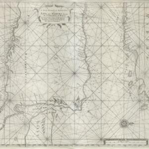
A large draught of the east end of Java and Madura shewing the Streights of Bally

event1711

location_onIndonesia

This early 18th century maritime map charts the waters between the islands of Java, Madura and Bally (Bali). The web of lines is a rhumbline network, while the numbers indicate sea depth (bathymetry), both used to aid navigation.

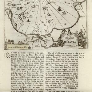
A mapp of the islands before Batavia

event1704

location_onIndonesia

This early 19th century map is from a book titled ‘Mr. John Nieuhoff's Voyages’ in which the author reports on his travels to Southeast Asia, including a detailed description of the important port city of Batavia, as shown on the map.

[Portolan chart of the Gulf of Siam]

event1697

location_onThailand, Vietnam, Malaysia, Cambodia

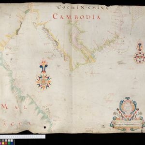
A brightly-coloured hand-drawn map of the Gulf of Siam, made for a ship’s captain. The elaborate compass roses are the centre of a rhumbline network, a web of lines to aid navigation. Bathymetry (sea depth), islands, shoals and reefs are also marked.

The Molucca Ilands &c.

eventc.1680-1700

location_onEast Timor, Indonesia, Philippines

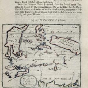
From Robert Morden’s ‘Geography Rectified’, a description with maps of the known world in the late 17th century. The map shows the Moluccas, but the text describes the Philippines: Spanish colonial rule, trade, the city of Manila and port of Cavite.

close