Search

Search Results

Malay Archipelago, or East India Islands

event1851

location_onBrunei, Cambodia, East Timor, Indonesia, Laos, Malaysia, Myanmar, Papua New Guinea, Philippines, Singapore, Southeast Asia, Thailand, Vietnam

This mid-19th century map of Southeast Asia is illustrated with drawings of indigenous people from New Guinea, a ‘bee bear’ (probably a sun bear), a sailboat in front of Victoria Mount in New Guinea, and a village and palm trees in Sarawak, Borneo.

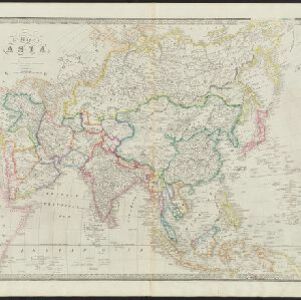
Map of Asia

event1840

location_onBrunei, Cambodia, East Timor, Indonesia, Laos, Malaysia, Myanmar, Papua New Guinea, Philippines, Singapore, Southeast Asia, Thailand, Vietnam

On this mid-19th century map of Asia, national and regional borders are colour-coded, including colonial possessions such at the British Straits Settlements. Coastal cities, islands, shoals and reefs are marked in detail.

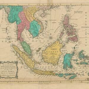
An Accurate map of India beyond the Ganges with the oriental islands, generally called East India

event1780

location_onBrunei, Cambodia, East Timor, Indonesia, Laos, Malaysia, Myanmar, Philippines, Singapore, Southeast Asia, Thailand, Vietnam

This map uses colour to identify regions in late 18th century Southeast Asia, many of which roughly correspond to modern countries: Pegu=Myanmar, Tonkin/Cochin China=Vietnam, Lao =Laos, Siam=Thailand, Malaya=Malaysia, Philippin Islands=Philippines.

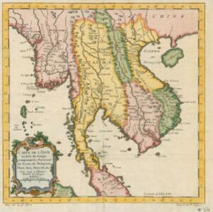
Carte de l'Inde au-delà du Gange comprenant les Royaumes de Siam, de Tunquin, Pegu, Ava, Aracan &c.

event1750

location_onMalaysia, Cambodia, Myanmar, Thailand, Vietnam, Laos

A mid-18th century map showing mainland Southeast Asia divided into regions such as Pegu, Ava and Aracan (Myanmar), Siam (Thailand), Laos, Camboie (Cambodia), Cochinchine and Tunquin (Vietnam), and Malaca (Malaysia).

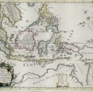
Isole dell'India, cioè le Molucche, le Filippine e della Sonda: parte de Paesi di nuoua scoperta e l'Isole de Ladri nel Mare del Zud

event1683

location_onBrunei, Cambodia, East Timor, Indonesia, Laos, Malaysia, Myanmar, Papua New Guinea, Philippines, Singapore, Southeast Asia, Thailand, Vietnam

Dotted lines on this late 17th century map demarcate regions and kingdoms (which also have a crown symbol). The cartouche is shaped like a giant shell supported by mermen, with cherubs holding up shells and pearls on top.

close