Search

Search Results

Carte des environs de Batavia = Kaart van de buitenstreeken van Batavia

eventc.1772-1780

location_onIndonesia

This late 18th century map of Batavia (Jakarta) focusses on the network of canals and rivers surrounding the city, as well as the many fields and plantations, including rice fields (‘Champ de Ris’) and sugarcane (‘Cannes de Sucre’).

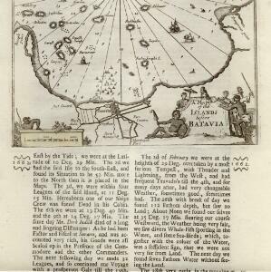
A mapp of the islands before Batavia

event1704

location_onIndonesia

This early 19th century map is from a book titled ‘Mr. John Nieuhoff's Voyages’ in which the author reports on his travels to Southeast Asia, including a detailed description of the important port city of Batavia, as shown on the map.

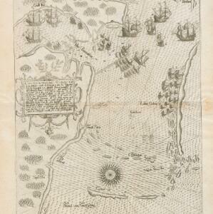
Contrafactur des Scharmutz els der Hollander wider die Portigesen in dem Flus Batusabar

event1607

location_onSingapore

Maps can sometimes record a single event: this map depicts an October 1603 battle between the Dutch and Portuguese, as they fought for control of the trade routes through the Singapore Straits. The text panel recounts the story of the battle.

close

  • Filter from 1607 to 1772

Current results range from 1607 to 1772