Search

Search Results

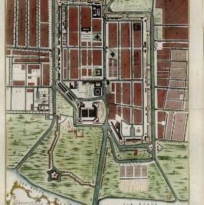
Grundris der stadt und citadelle Batavia

event1785

location_onIndonesia

Carte des environs de Batavia = Kaart van de buitenstreeken van Batavia

eventc.1772-1780

location_onIndonesia

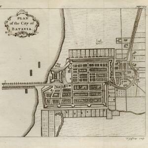
Plan of the city of Batavia

event1750

location_onIndonesia

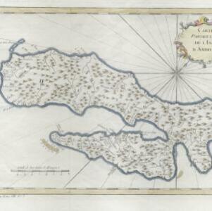
Carte particuliere de l'isle d'Amboine

eventc.1746-1770

location_onIndonesia

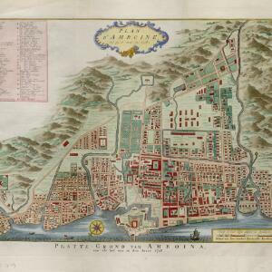
Plan d'Amboine, tel qu'il étoit en 1718 = Platte-grond van Amboina, zoo als het was in den jaare 1718

eventc.1746-1770

location_onIndonesia

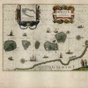
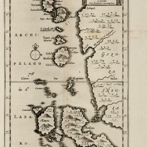
Molvccae insvlae celeberrimae

eventc.1730-1778

location_onIndonesia

A map of the East-Indies and the adjacent countries: with the settlements, factories and territories, explaining what belongs to England, Spain, France, Holland, Denmark, Portugal &c.

event1717

location_onBrunei, Cambodia, East Timor, Indonesia, Laos, Malaysia, Myanmar, Philippines, Singapore, Southeast Asia, Thailand, Vietnam

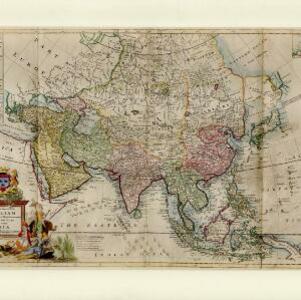
To the Right Honourable William, Lord Cowper, Lord High Chancellor of Great Britain, this map of Asia

event1715

location_onVietnam, Myanmar, Papua New Guinea, Philippines, Singapore, Southeast Asia, Thailand, Malaysia, Laos, Indonesia, East Timor, Cambodia, Brunei

Les Îles Moluques, tres exactement representées selon les plus nouvelles Observations des meilleurs Geographes

eventc.1714-1729

location_onIndonesia

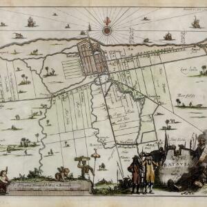
A mapp of Batavia with all itts forts

event1704

location_onIndonesia

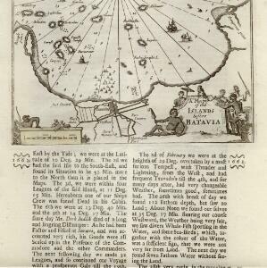
A mapp of the islands before Batavia

event1704

location_onIndonesia

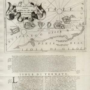
Le Molucche

event1692

location_onIndonesia

close

  • Filter from 1614 to 1785

Current results range from 1614 to 1785