Search Results

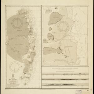
Oostkust: Aroe-Eilanden / Ankerplaats voor Watoelei en Koemoel
1896
Indonesia
Map of the east coast of the Aru Islands (Maluku Islands), with bathymetry (sea depth), tides and currents, shoals and other obstructions. An inset map shows the anchorage at islands off the coast, along with elevation views of the islands.

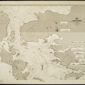
Straat Riouw: Trigonometrisch opgenomen door het Engelsche opnemings vaartuig
1894
Indonesia
Navigation map of the Riau Strait between Batam, Bintan and Rempang (Riau Archipelago). Bathymetry (sea depth), lighthouses, bouys, currents and obstructions are marked. There are side views of islands and mountains (elevations) to use as landmarks.

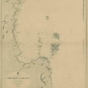
Gulf of Siam: Malay Peninsula - East Coast. Lakon Roads to Lem Tane
1880
Thailand
Produced by the British Admiralty’s Hydrographic Office, this map includes various navigational aids, such as maritime routes, bathymetry (sea depth), tide and current data, and elevations (side views of hills and mountains to use as landmarks).


