Search Results
Filter
Insets
Coat of Arms
Remove constraint Insets: Coat of Arms
Land Features
Jungle/Wooded Area
Remove constraint Land Features: Jungle/Wooded Area
Land Features
Mountain/Volcano
Remove constraint Land Features: Mountain/Volcano
Sea Features
Shoal
Remove constraint Sea Features: Shoal
15 Results found
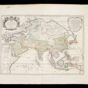
L'Asie divisée en ses principales regions, et ou se peuvent voir l'estendue des Empires, Monarchies, Royaumes, et Estats qui partagent présentement l'Asie
1720
Brunei, Cambodia, East Timor, Indonesia, Laos, Myanmar, Malaysia, Papua New Guinea, Philippines, Singapore, Southeast Asia, Vietnam, Thailand

L'Asie divisée en ses principales regions, et ou se peuvent voir l'estendue des Empires, Monarchies, Royaumes, et Estats qui partagent présentement l'Asie
1720
Brunei, Cambodia, East Timor, Indonesia, Laos, Malaysia, Myanmar, Papua New Guinea, Philippines, Singapore, Southeast Asia, Thailand, Vietnam

